Since locating a campsite last night took us further east than planned we evaluated ways to get back west. One option was to double back where we came from through Montrose (boring) or take CO-92 to Hotchkiss (Diane vetoed) and then head towards Grand Junction and ultimately the Colorado National Monument. Sidenote: In addition to standard street maps we also have a set of Butler Maps that are motorcycling specific, highlighting all the ‘interesting’ (aka twisty, scenic, long drops to the bottom) roads. Any potential route is always crosschecked against the Butler map. Diane is using it in a way I’m sure the designers didn’t intend to — she’s looking for routes to avoid rather than take :-).
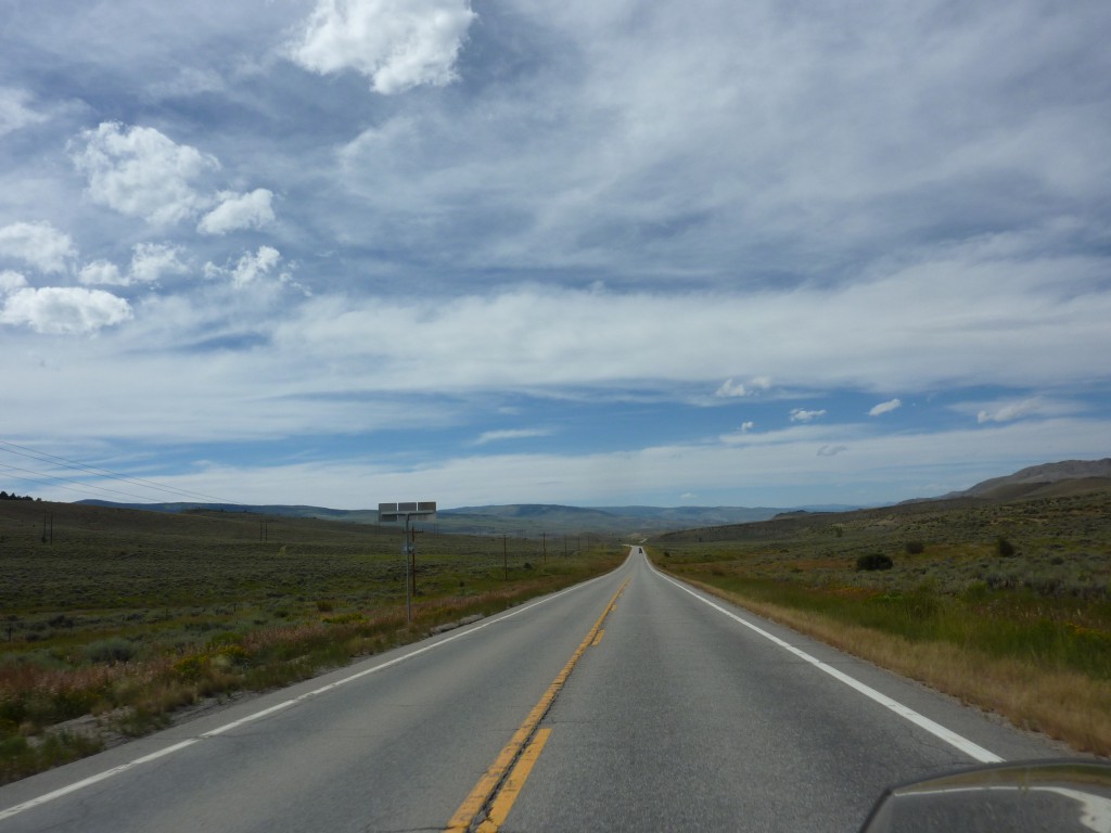
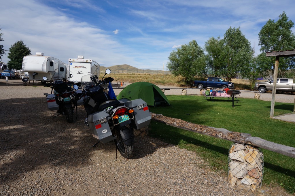
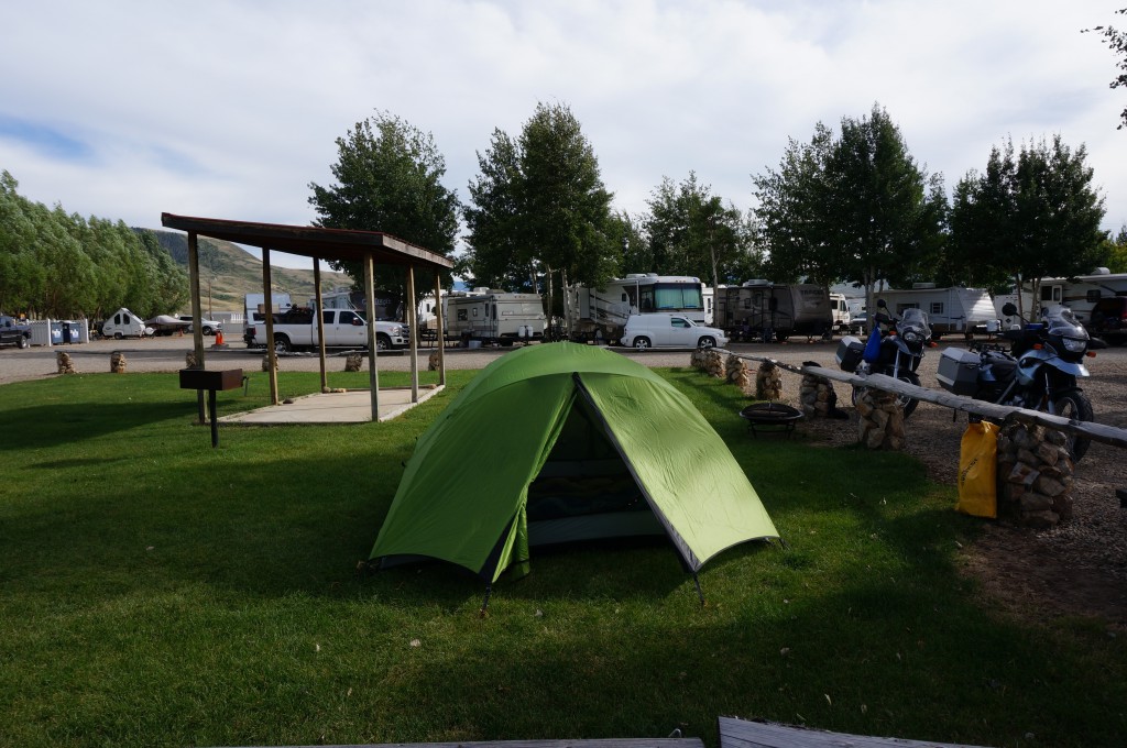
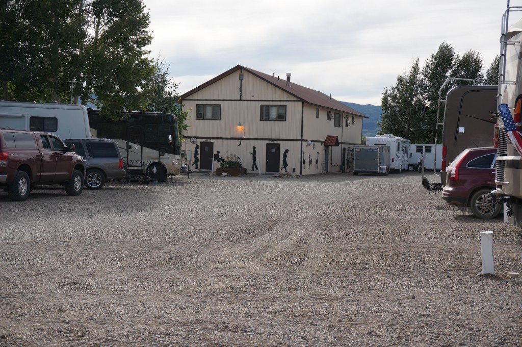
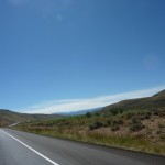
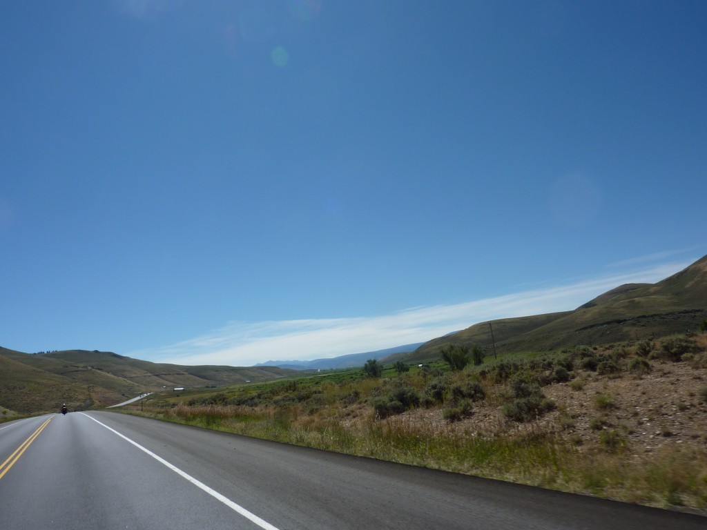
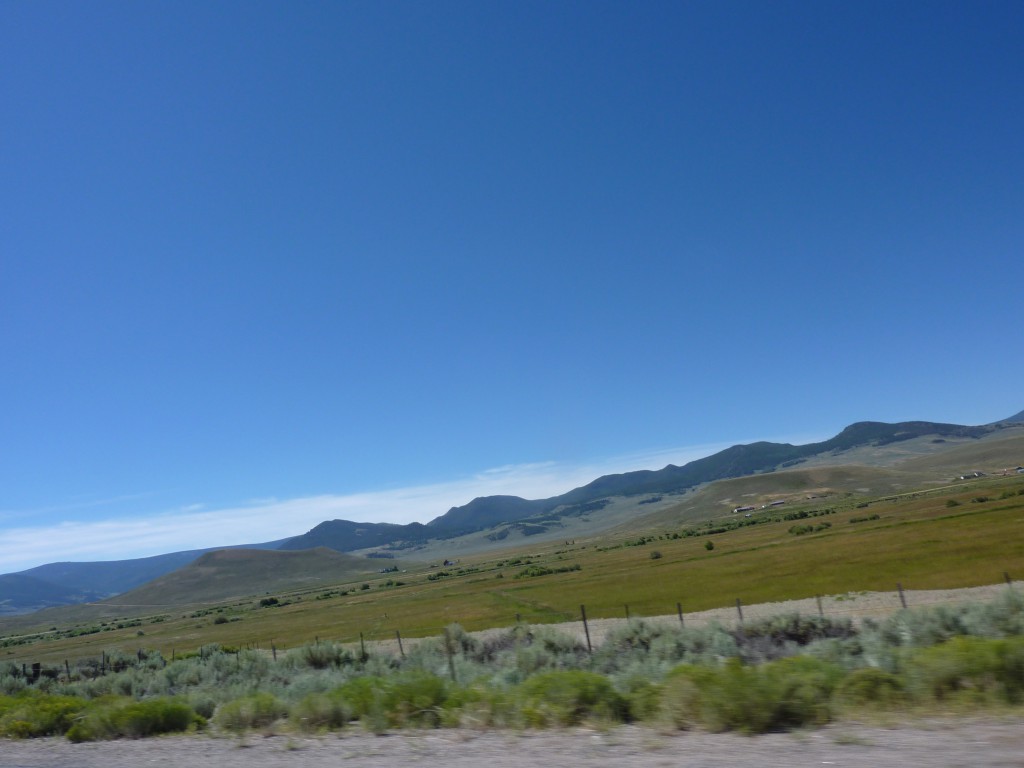
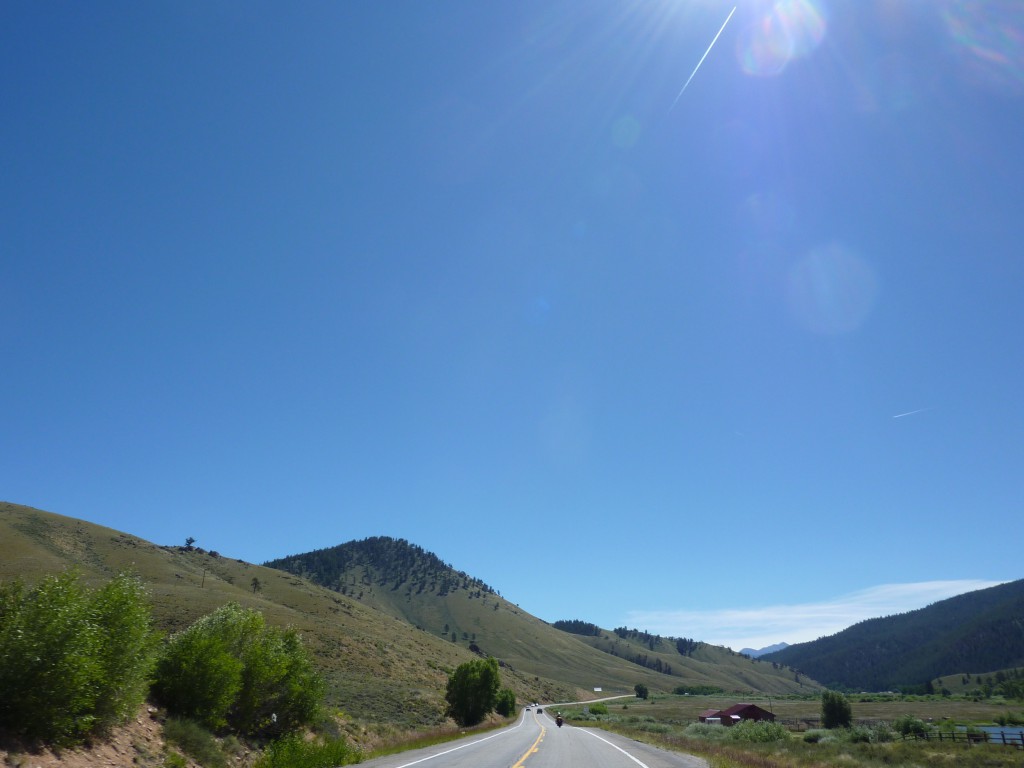
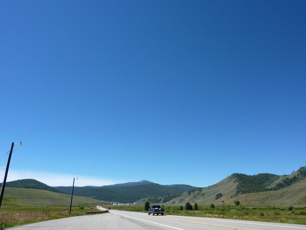
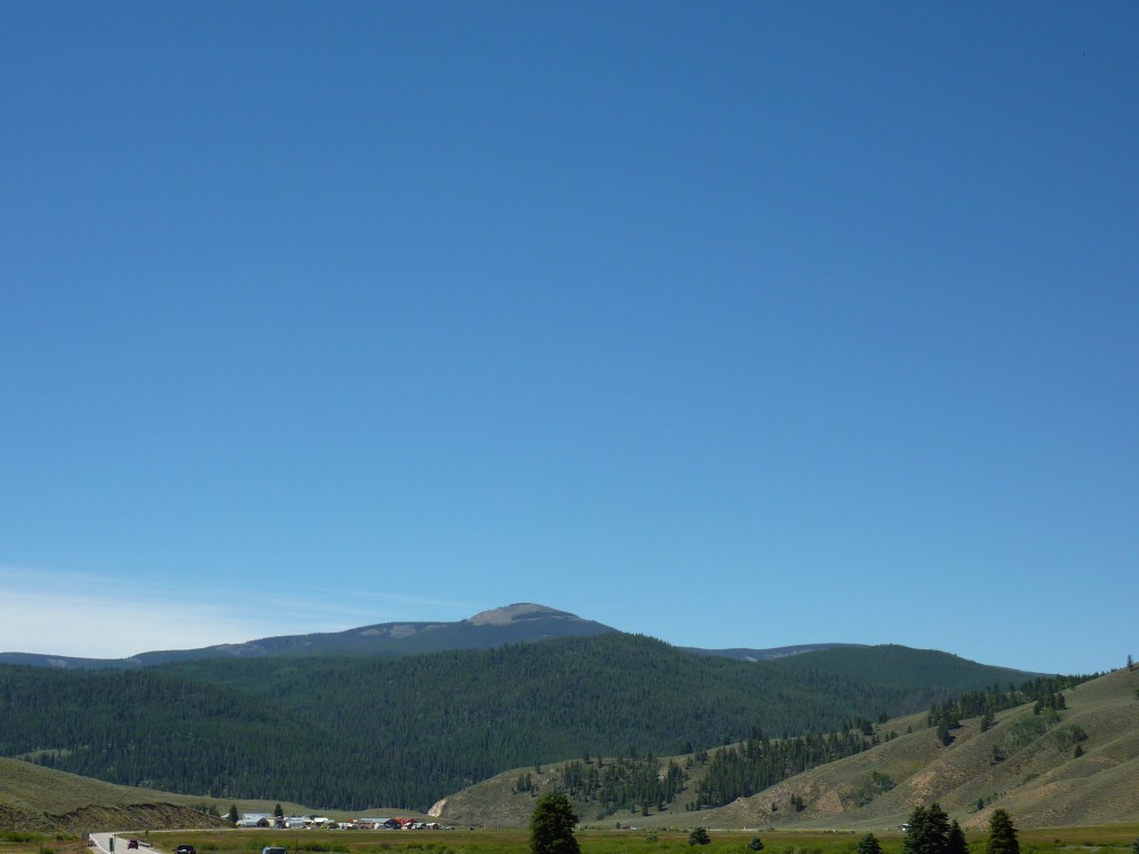
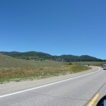
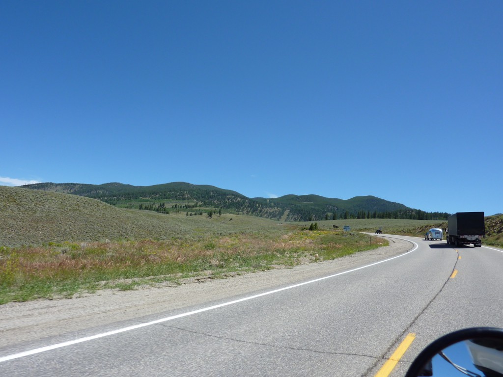
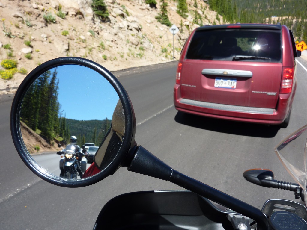
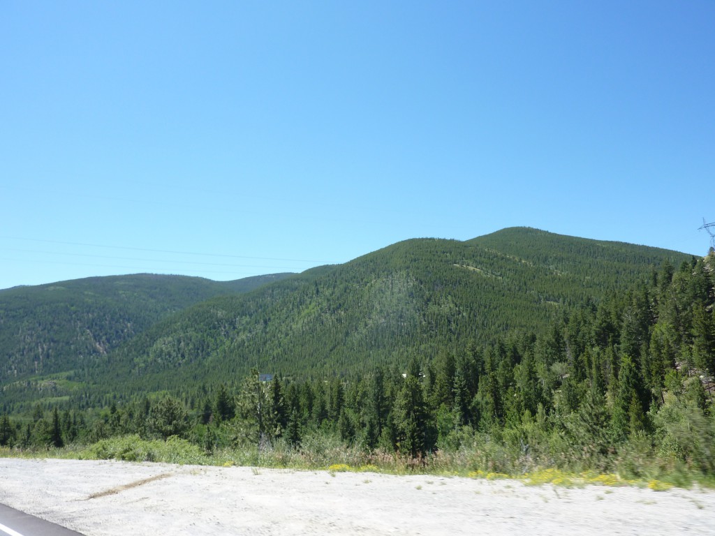
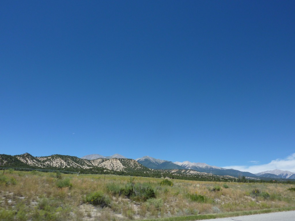
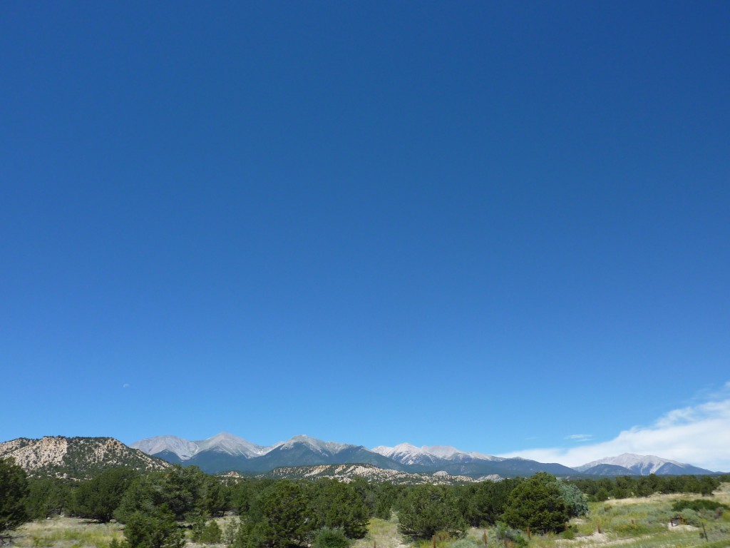
All that being said, we opted to go a little further east and then north to loop around the mountains and head towards Dinosaur National Monument instead, planning to catch Colorado National Monument later. We only had to contend with Monarch Pass today and the usual road construction. The ride through the valleys was scenic but very windy. After Monarch Pass we headed north on US285 towards Leadville (at 10,000ft it was a cool 66F at 14:00). We jumped on CO91 (Diane’s favorite road so far) that took us to IH70 for a short sprint before cutting off to CO9. As soon as we turned onto CO9 we encountered the road construction sign warning us to “Expect delays up to 45 minutes”. Thankfully, we didn’t get delayed but we did get about 6 miles of grated and gravel road (not Diane’s favorite road) just before our turn off on US40 where we called it a day in Kremling, CO at another RV dominated campground. Not a big deal, we had grass to pitch our tent, warm showers and our first wi-fi connection, all was good.
-
- US50
-
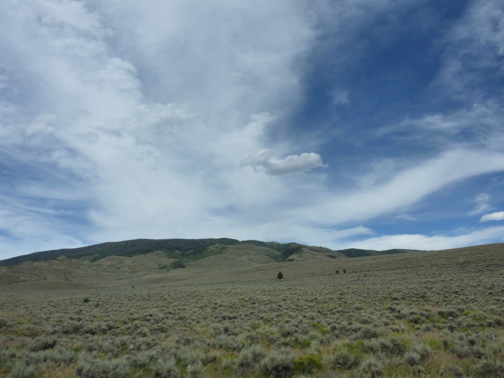
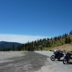
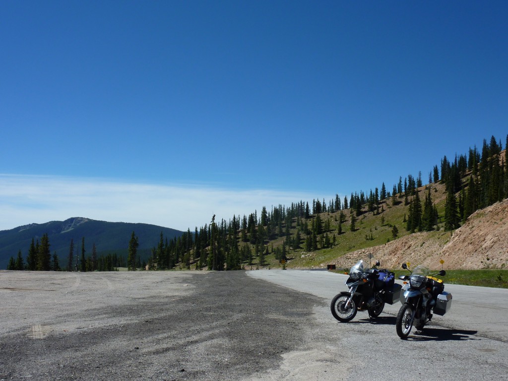
- only 5 miles towards Monarch pass
-
- too windy to take off the helmet 😉
-
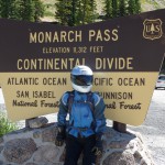
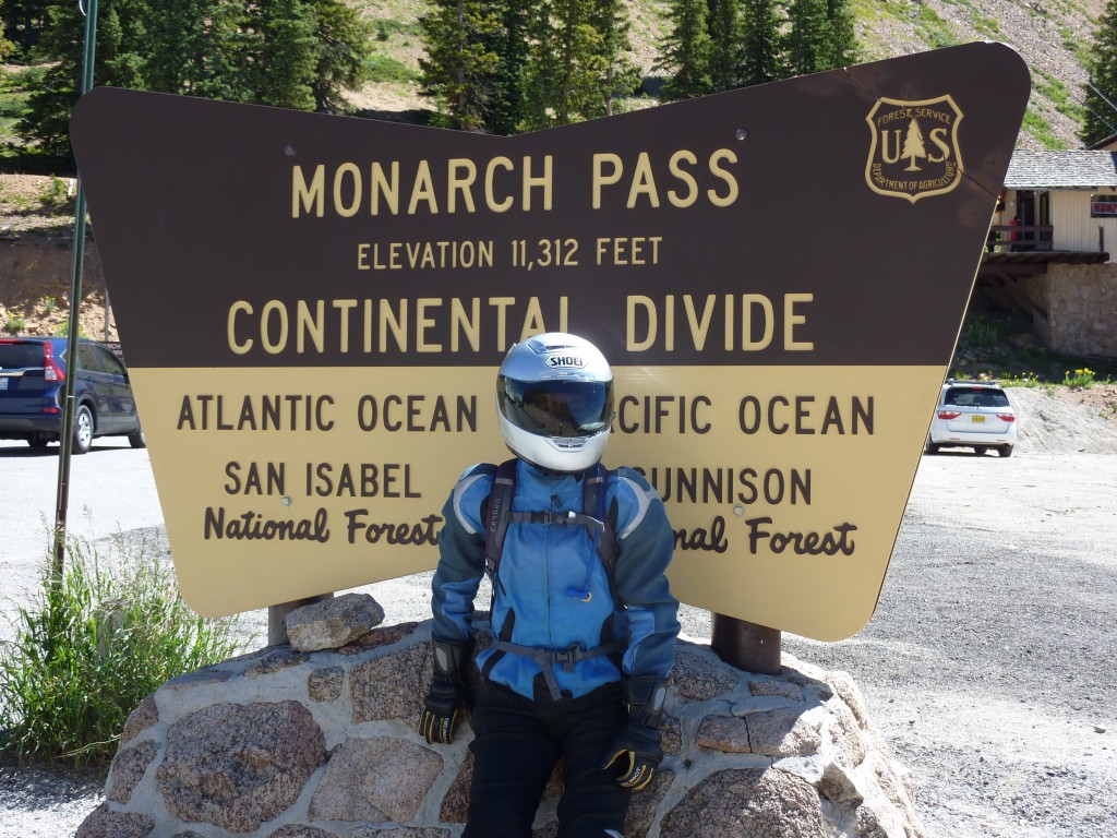
- Monach pass
-
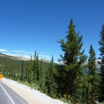
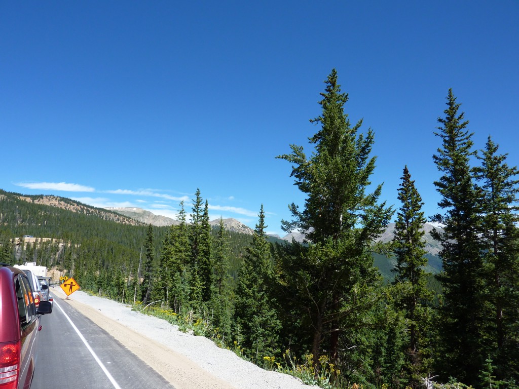
- yet another construction site just past the pass
-
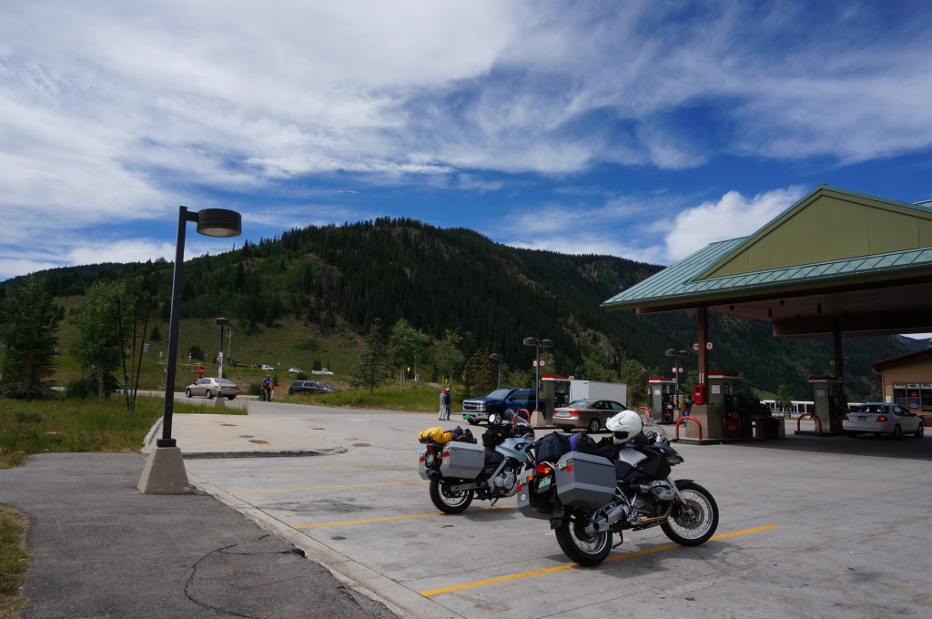
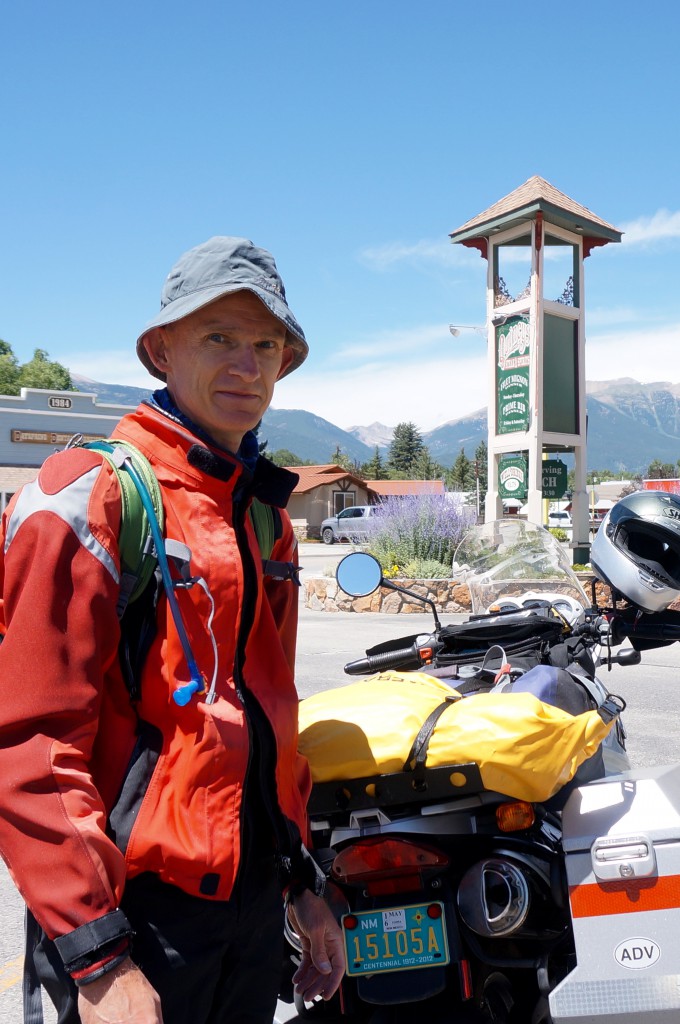
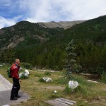
- lunch break in Buena Vista, CO
-
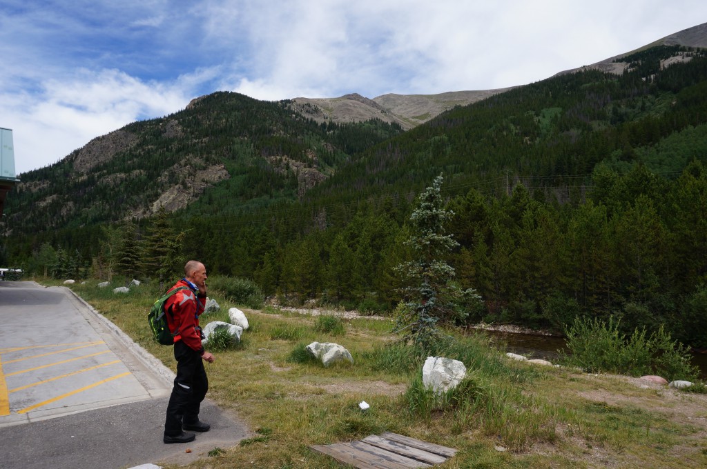
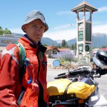
- calling ahead to a campground to check availability