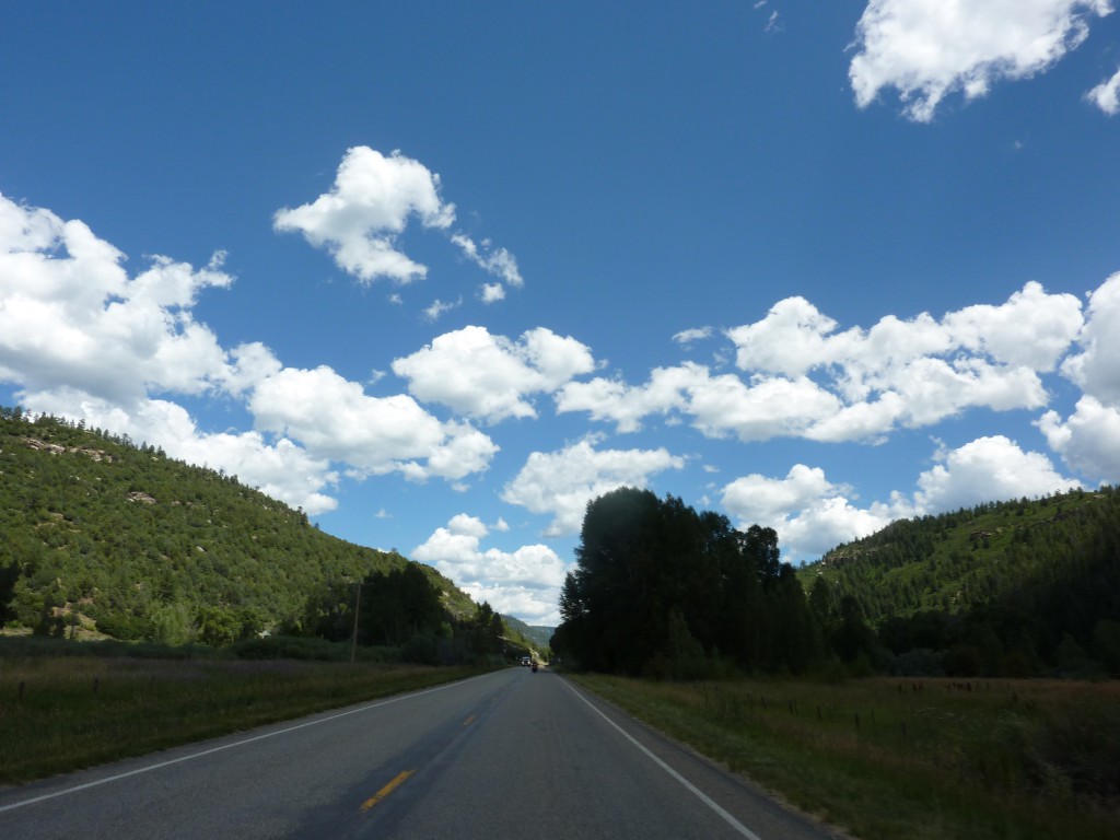
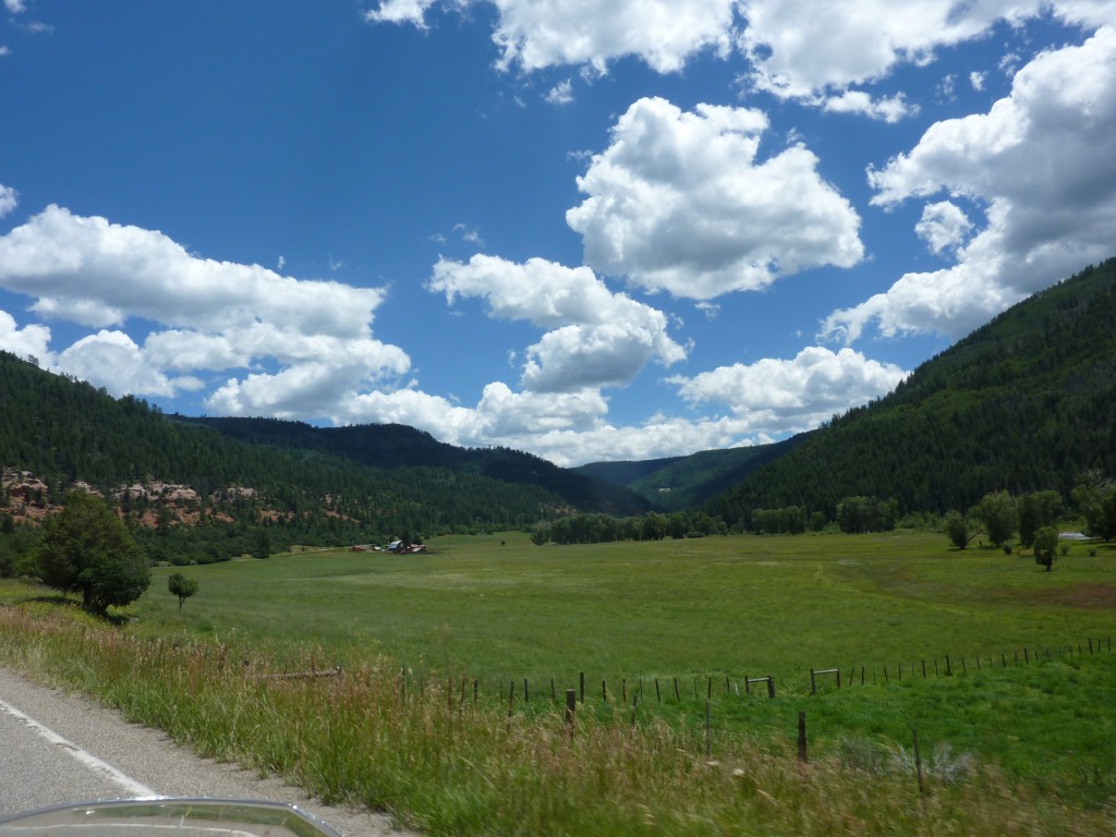
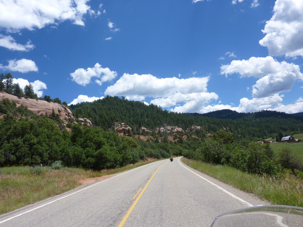
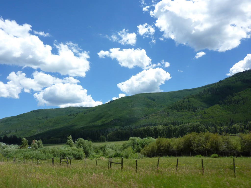
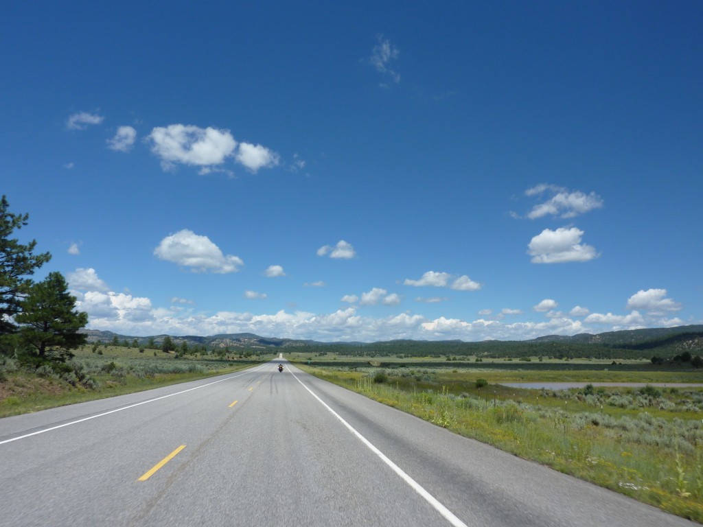
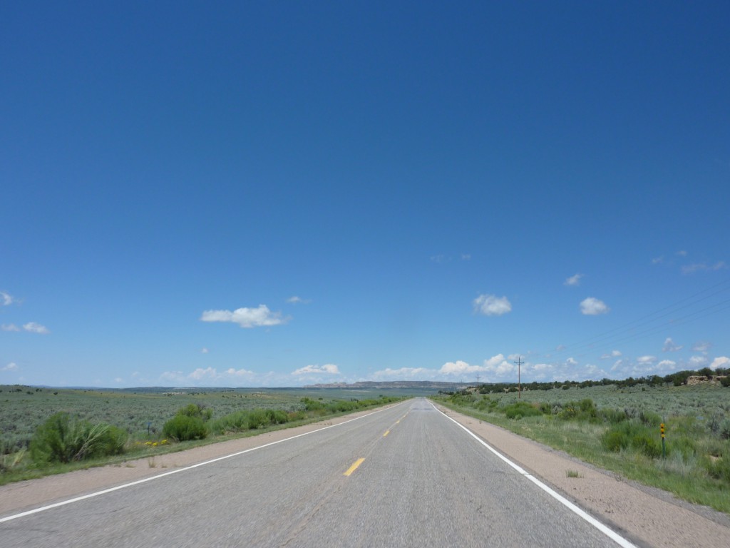
With the rain fly replacement situation squared away we left South Fork albeit a little later than usual. We had no traffic for the first part into Pagosa Springs which made the winding road through the mountain pass even more enjoyable and was deemed “Diane’s favorite road, so far”. We stayed on US160 all the way to Cortez, CO, winding our way through the river valley and gentle hills (by Colorado standards).
Month: August 2015
Equipment Failures
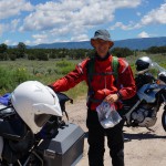
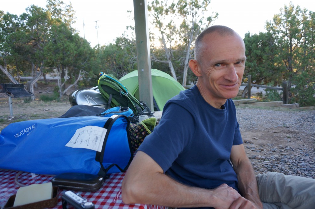
Same waterproof duffle bag, same failure. After my bag failed on the last trip
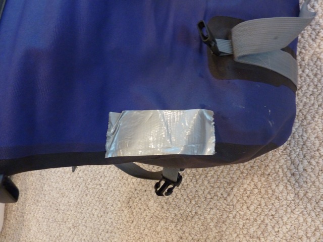
it was now Diane’s turn to have her exact same model bag fail, also along the ‘welded’ seam. Hers was so bad that only after a couple of times of handling the bag the seam kept separating almost all the way! Not good. Not only is it obviously no longer waterproof but there is the danger of stuff falling out when the seam separates at some place that we didn’t duct tape.
Heading west again and trying to avoid the rain
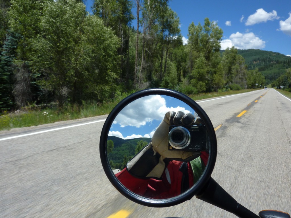
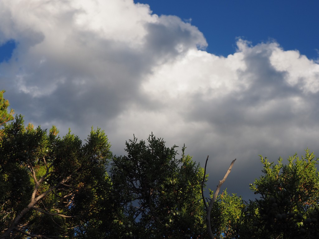
Even when we don’t have to take down and pack a tent it takes us long in the morning to leave 🙂 (damn, all out of excuses). Then again, we weren’t really in a hurry to get stuck in Denver rush hour traffic so it was around 10:30 when we finally left Mike’s place. Leaving Denver behind us we were heading into uncertain weather with black clouds looming all around us. Since my ‘point&shoot’ camera that hangs on a lanyard around my neck isn’t waterproof it stayed in the tank bag for most of today’s ride.
Continue reading Heading west again and trying to avoid the rain
In Denver for the weekend
During our normal morning routine, while drinking tea and coffee we check the weather forecast for the area we plan to ride to and, unfortunately, it didn’t look good. The weather radar was basically a sea of green – rain everywhere :-(. While a small shower is no big deal, continuous rain is a different matter. It’s not fun to ride in and camping in, even less so. What to do?
How to avoid mountain passes
Since locating a campsite last night took us further east than planned we evaluated ways to get back west. One option was to double back where we came from through Montrose (boring) or take CO-92 to Hotchkiss (Diane vetoed) and then head towards Grand Junction and ultimately the Colorado National Monument. Sidenote: In addition to standard street maps we also have a set of Butler Maps that are motorcycling specific, highlighting all the ‘interesting’ (aka twisty, scenic, long drops to the bottom) roads. Any potential route is always crosschecked against the Butler map. Diane is using it in a way I’m sure the designers didn’t intend to — she’s looking for routes to avoid rather than take :-).
Black Canyon of the Gunnison
The morning started a little slow after sitting by the camp fire and drinking beer last night ;-). We didn’t leave the campground until 10:00am to head north into Montrose, CO where we did some grocery shopping before continuing to the Black Canyon of the Gunnison.
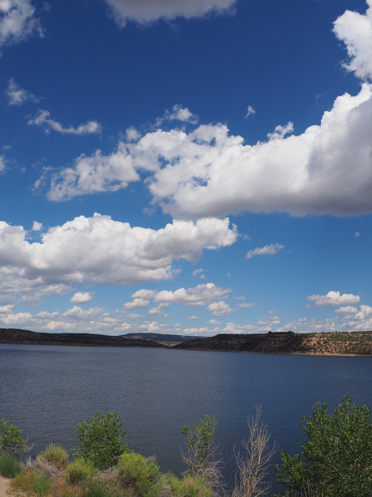
Navajo Lake State Park to Ridgway State Park, CO
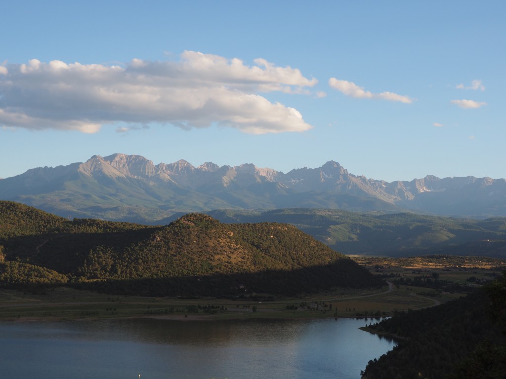
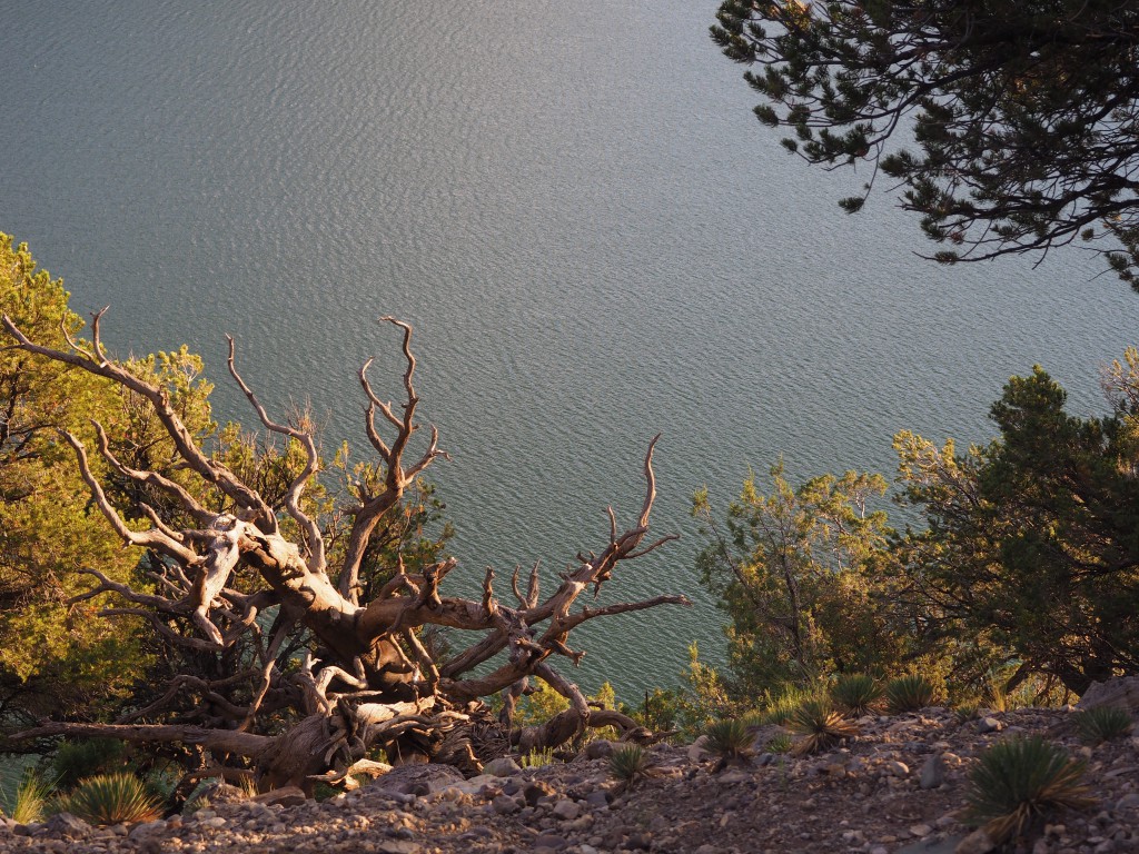
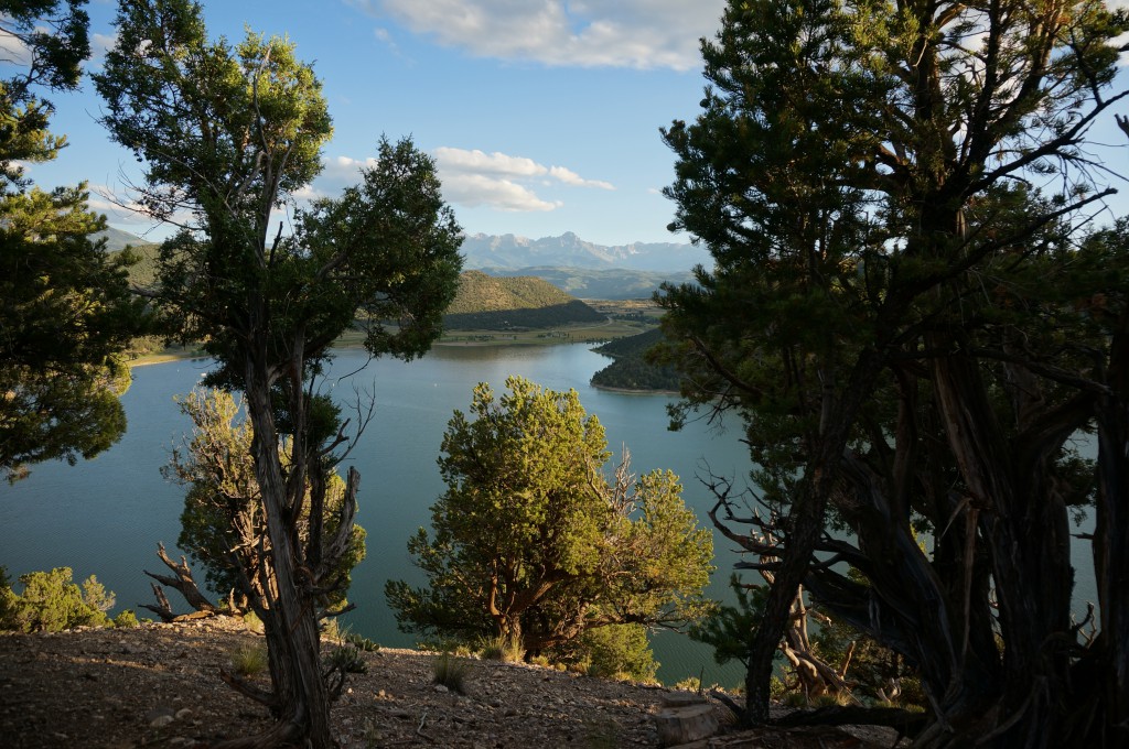
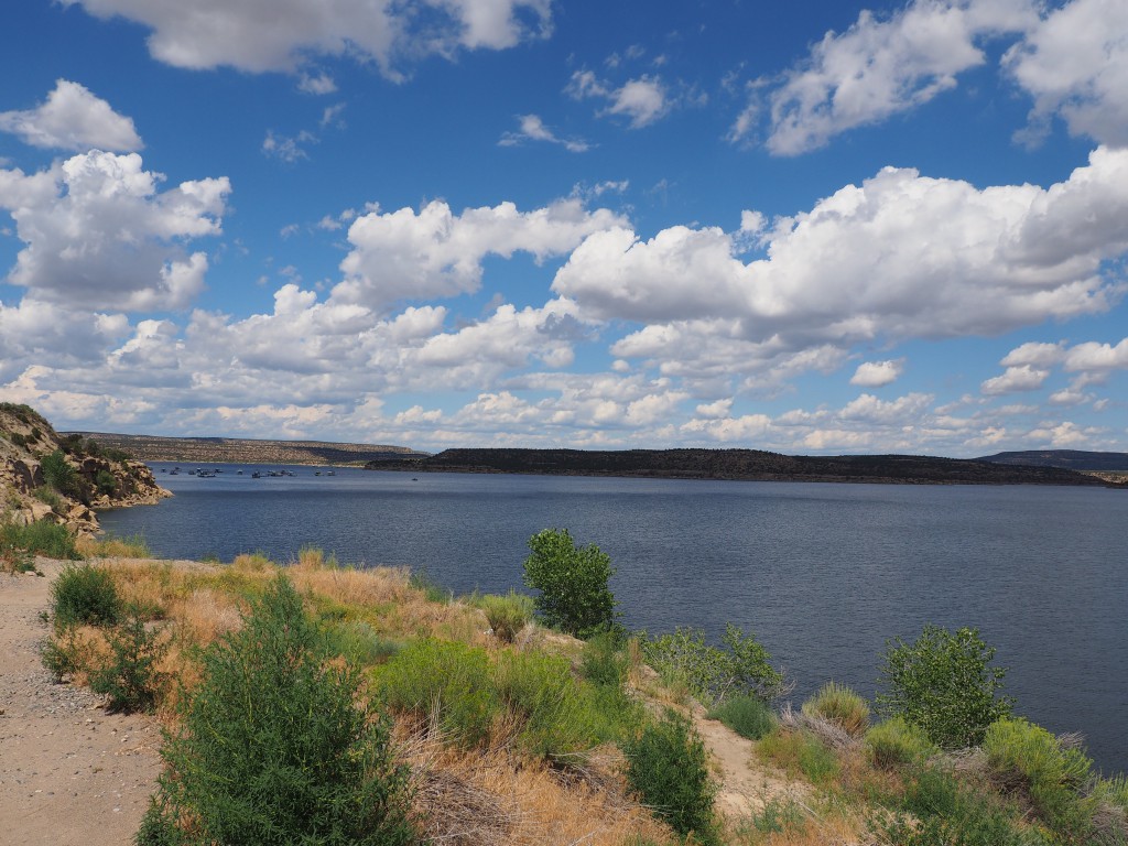
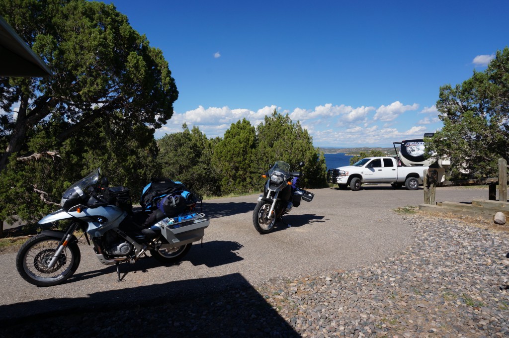
The first hiking and viewing attraction we are heading for is the Black Canyon of the Gunnison National Park. Ever since we passed the park entrance sign a couple of years ago on a ride I have been meaning to go back and check it out. Getting there will take us two days so after leaving Navajo Lake State Park, our destination for the day is Ridgway State Park in Colorado (~200 miles) where we stayed in 2012.
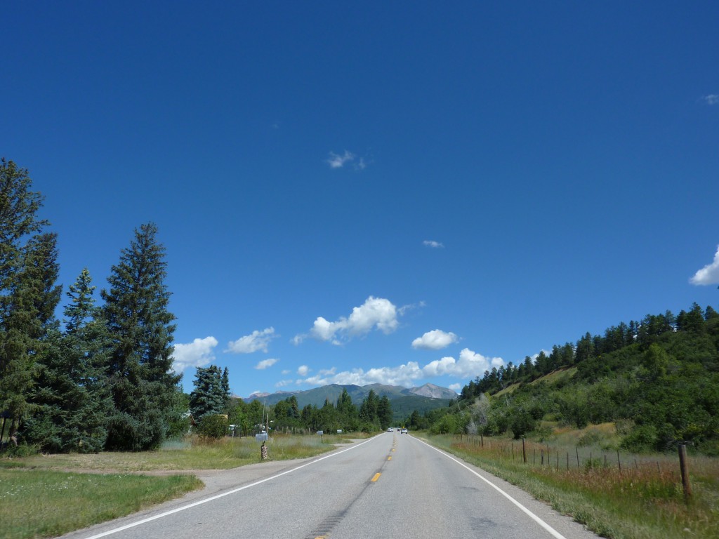
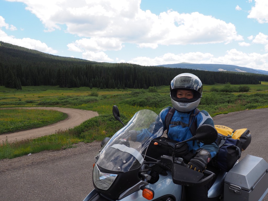
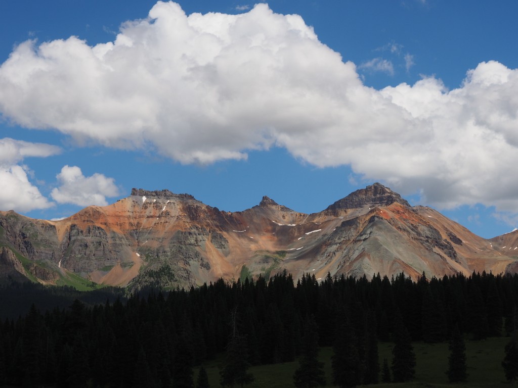
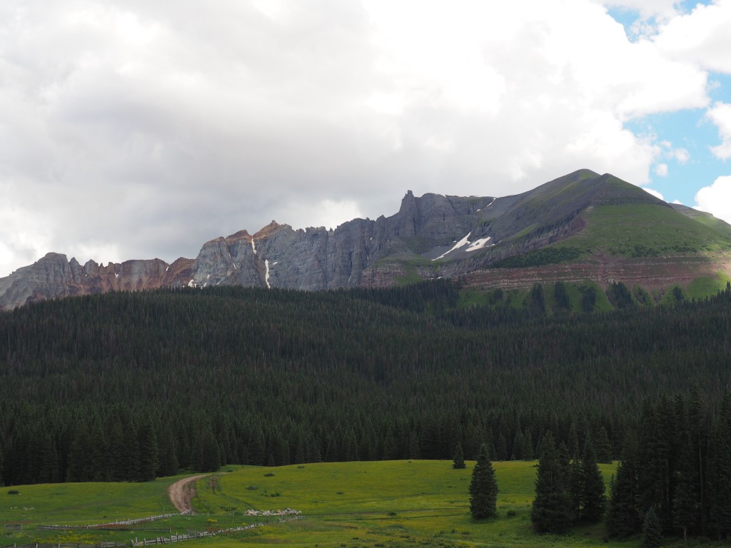
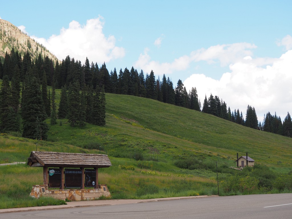
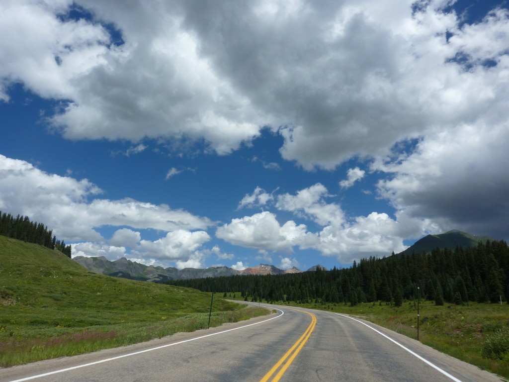
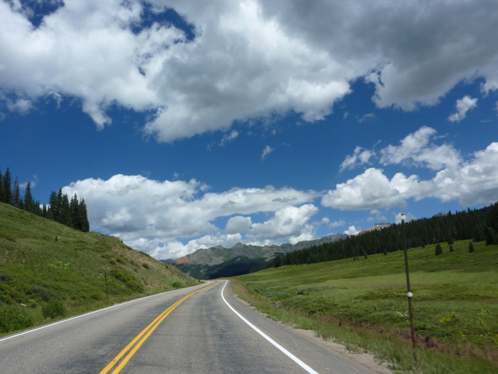
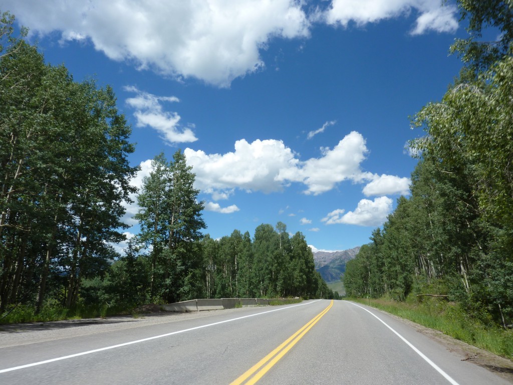
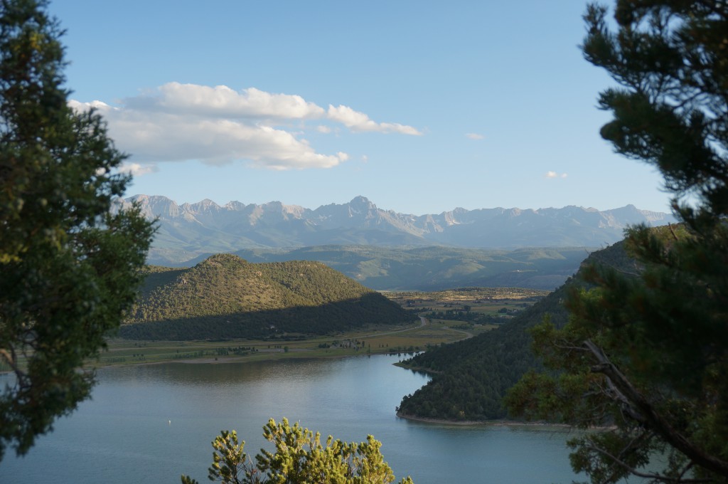
Now, that sounds like a reasonable distance to travel for the day but there’s a caveat. Namely, Diane’s challenge of ‘heights’. Looking off bridges, sheer and steep drops, pose a challenge for her. So why are we going north into Colorado – mountains to the left and right? Mostly to escape the heat of the lower elevations in Utah and Arizona where we also want to go – after things have cooled off a little by late August. Today would bring the first ‘pass’ of our trip – Lizard Head Pass on CO145 leading into Telluride, CO.
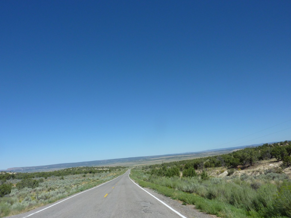
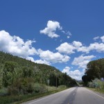
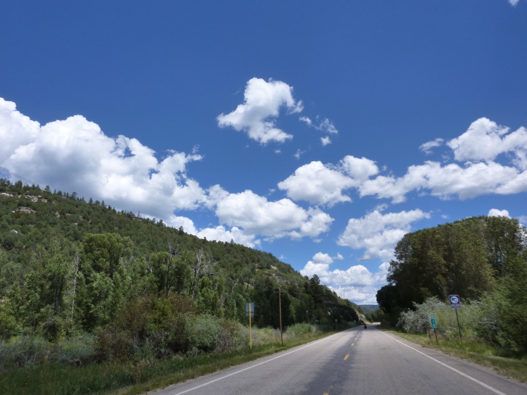
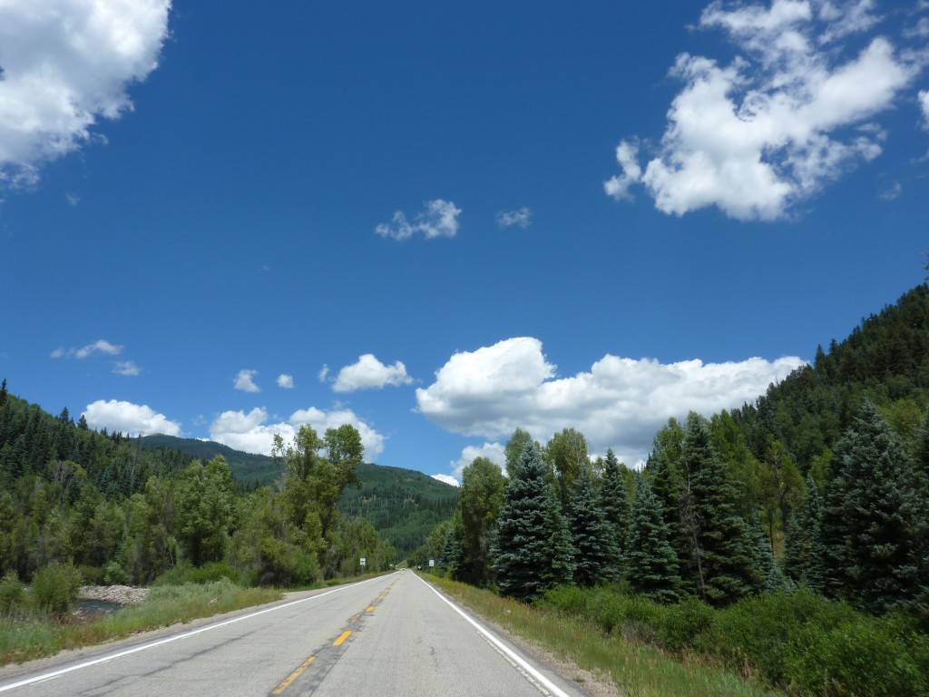
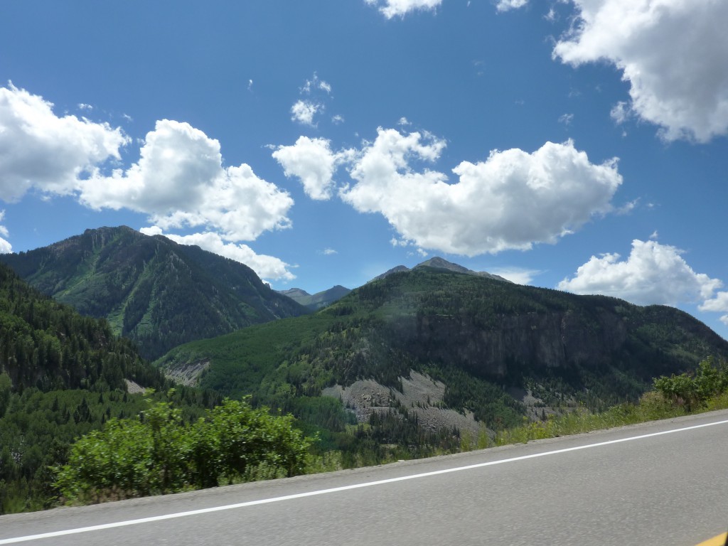
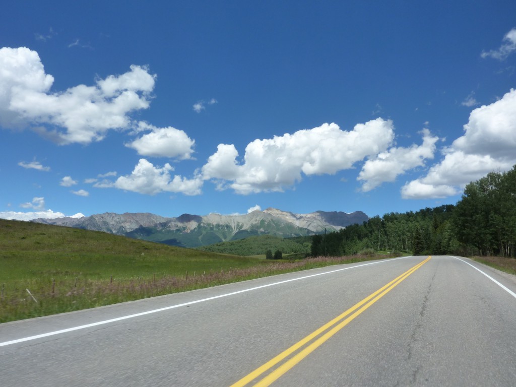
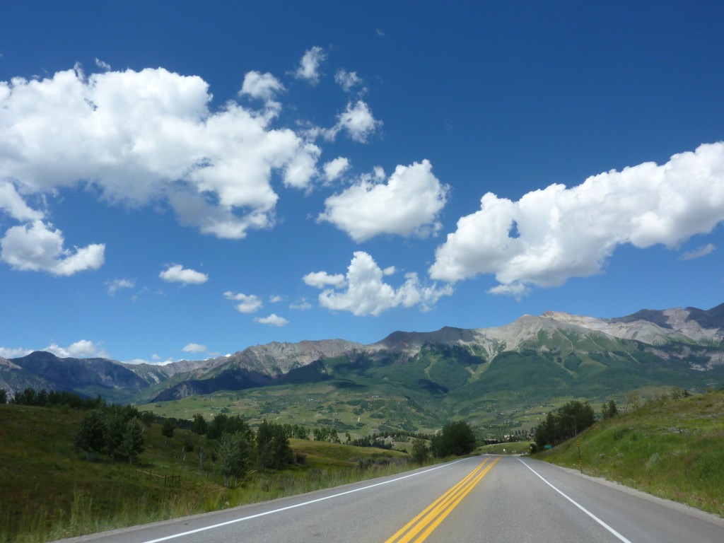
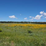
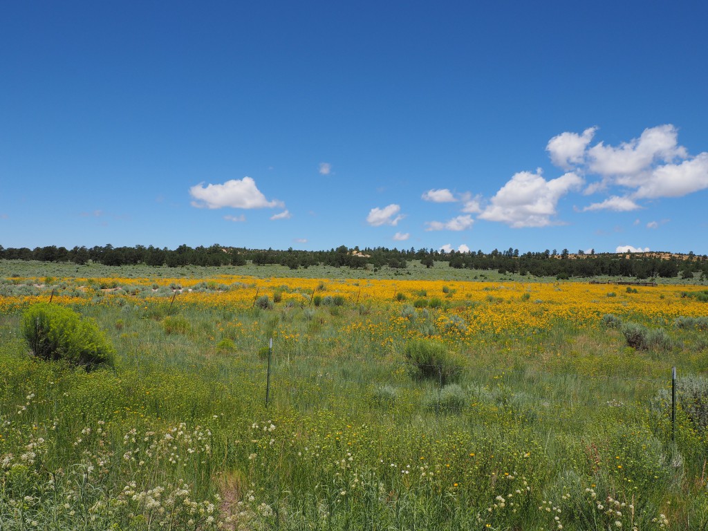
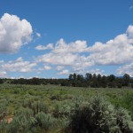
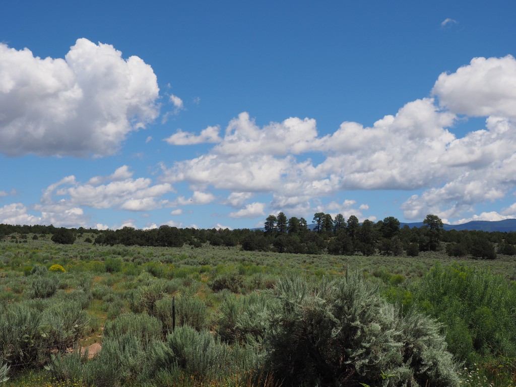
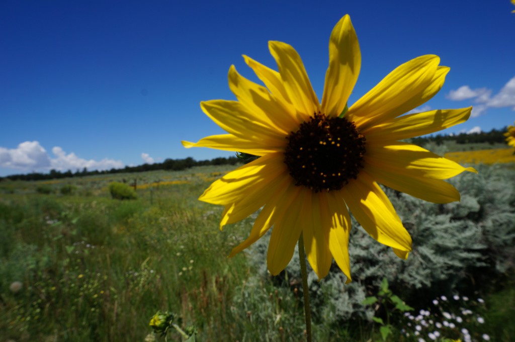
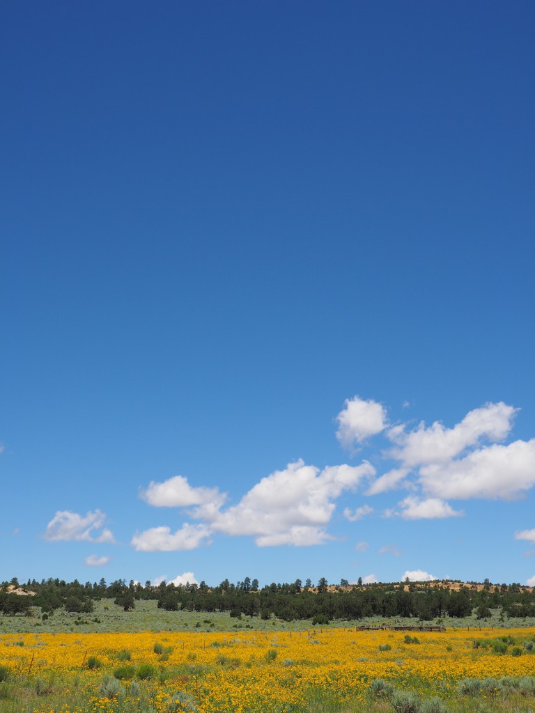
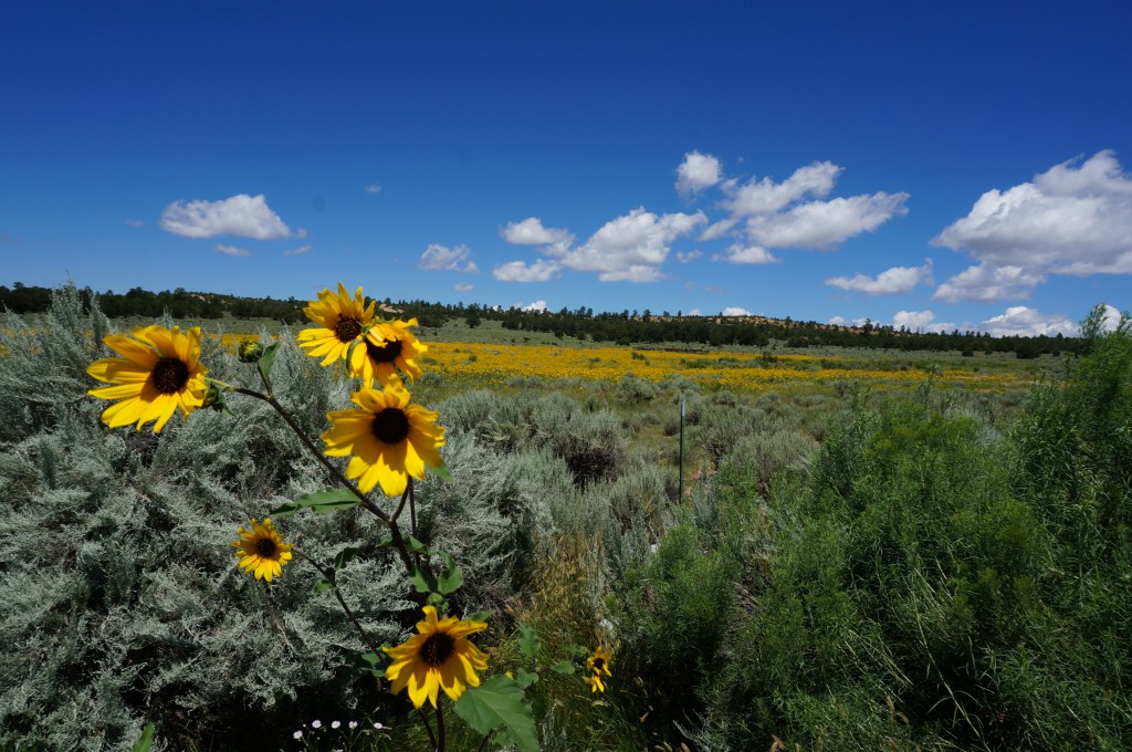
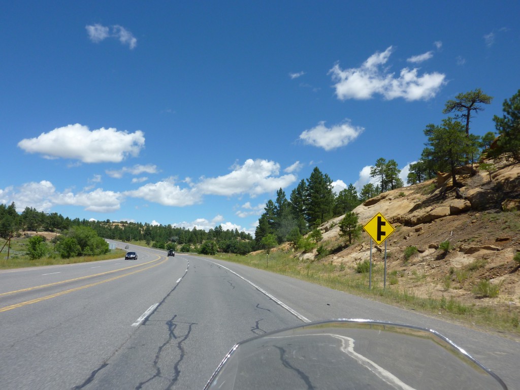
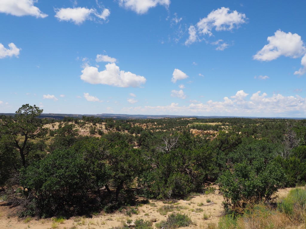
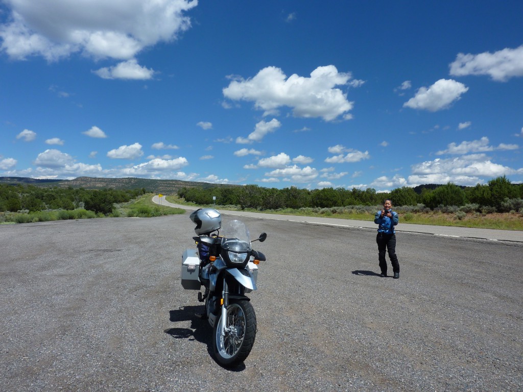
The ride through northern New Mexico and into Colorado led us through gently rolling hills of sage brush and later farm land until we got to Delores, CO when we joined up with CO145 which runs along a river into the mountains towards Telluride. As we climb in altitude we can see the mountains and the clear demarkation of the tree line. The air cools to the point where we have to close the air flow zippers on our jackets to keep warm. It’s a very scenic and not too dramatic ride though there are a couple of tight turns and drops. The drop offs though are not immediately to the the right or left of the lane but rather buffered by a large shoulder and often times extra space which makes them a lot more tolerable for Diane.
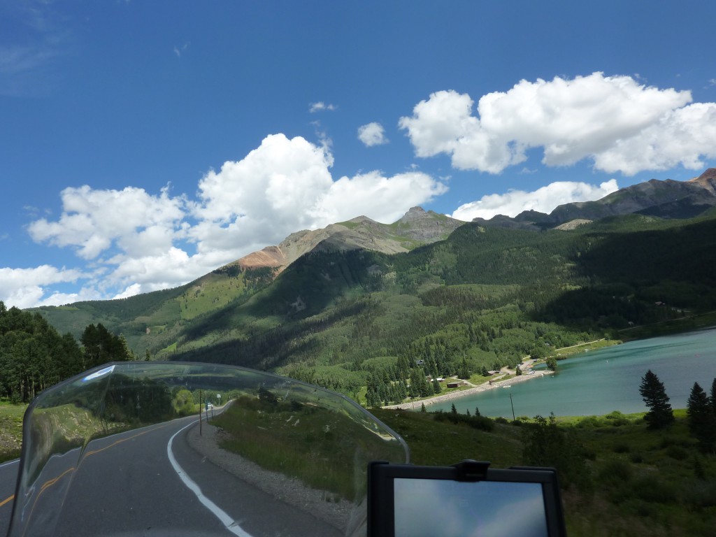
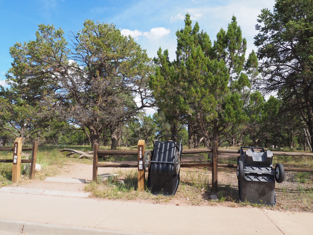
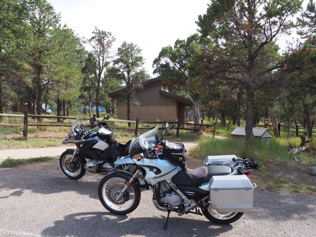
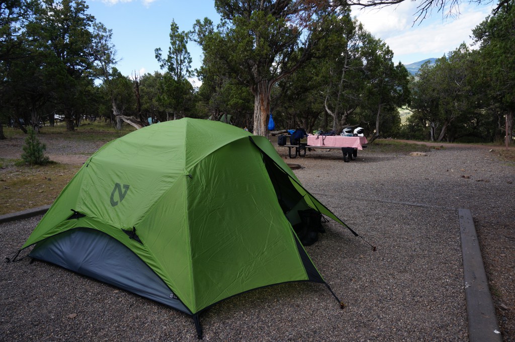
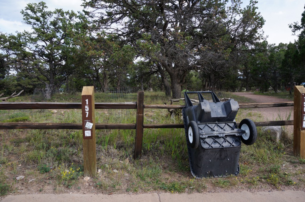
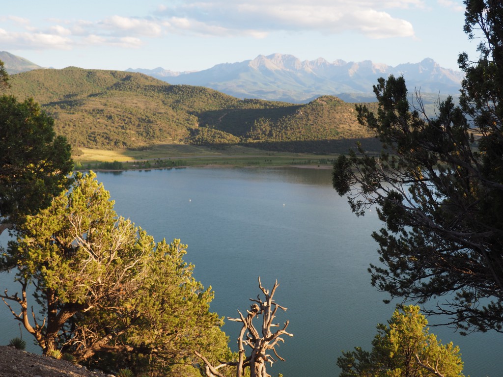
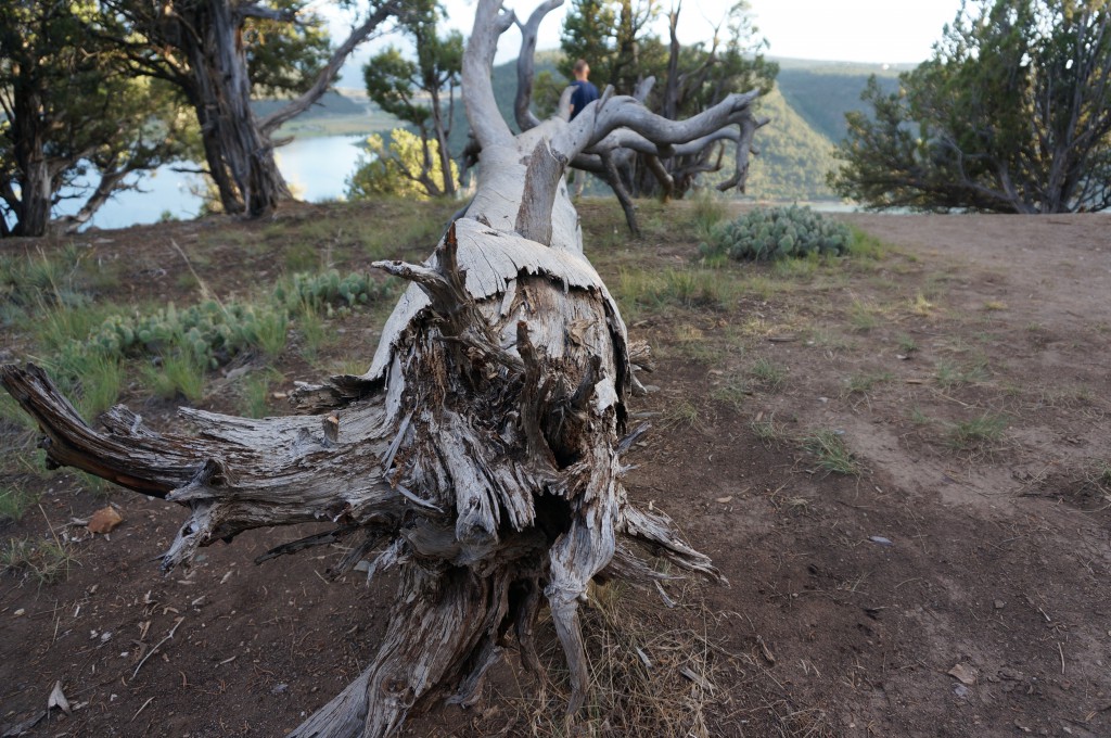
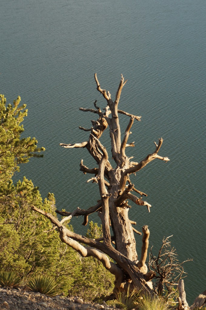
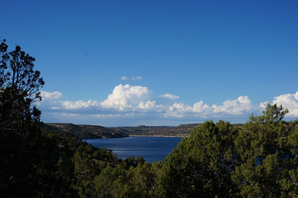
By the time we get to Telluride the worst is over as we start the final leg of the day, joining CO62 in Placerville into Ridgway, CO. We stop to pick up a six pack of beer 🙂 before heading to the campground and stop for the night at Ridgway State Park just up the road on US550. We lucked out and got the last available camping spot for the night. The campground is scenic, sitting on top of a plateau with great views around – perhaps that explains the rather stiff camping fee of $32 for the night ($18 to camp and $7 per motorcycle to enter the park). Still cheaper than a hotel (not to mention nicer) but it does seem a little steep for some dirt to pitch a tent ;-). At least they provide wheelbarrows to cart your gear from the parking lot to your campsite.
By its nature, camping lends itself to meet your neighbors. While we were setting up camp, one of our neighbors walked by all ‘suited up’ in protective motorcycle gear greeting us and asking if those were our bikes in the parking lot. We started chatting and later joined him, Joe, at his campfire for more stories and beers. Turns out Joe rode up from Orlando, FL (!) to ride the famed passes of Colorado for the week before picking up his wife at the Denver airport and heading out to Estes Park for more camping and riding. Nice and easy going guy. We really enjoyed talking with him. We failed to get a picture with him.
-
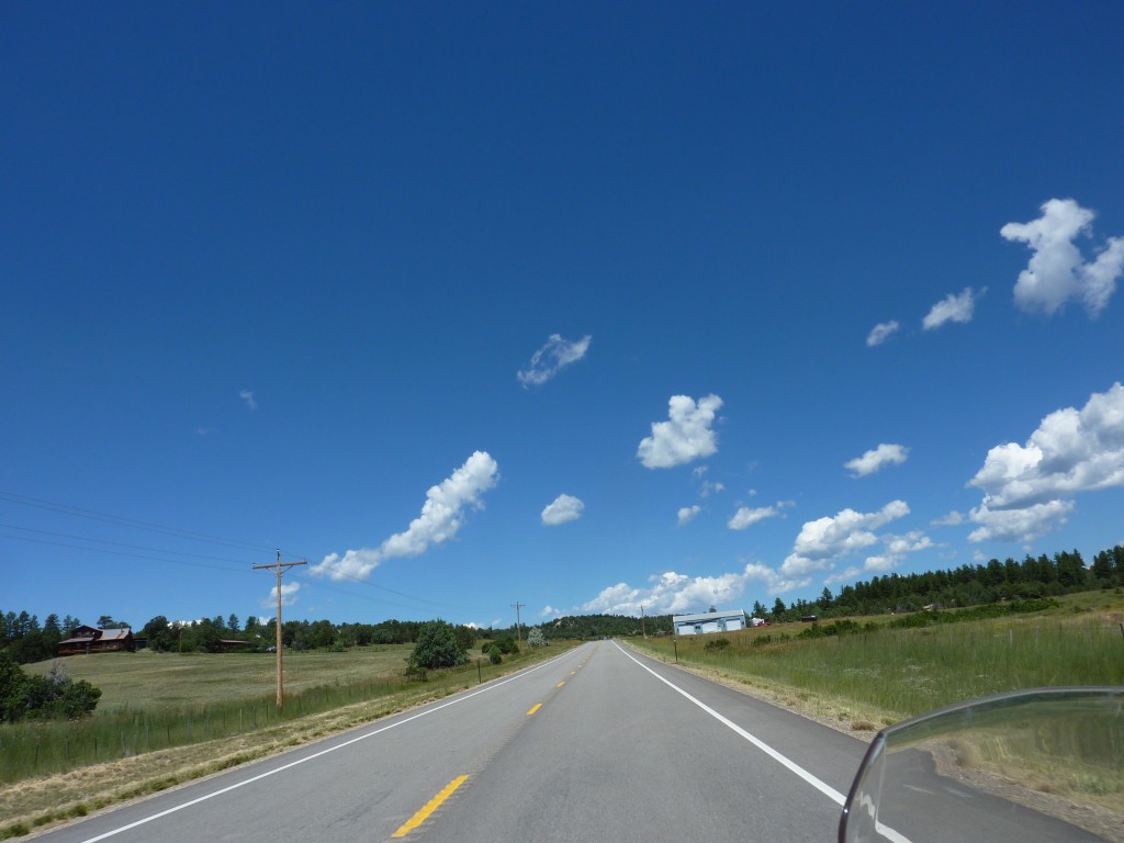
- Northern NM
-
- Northern NM
-

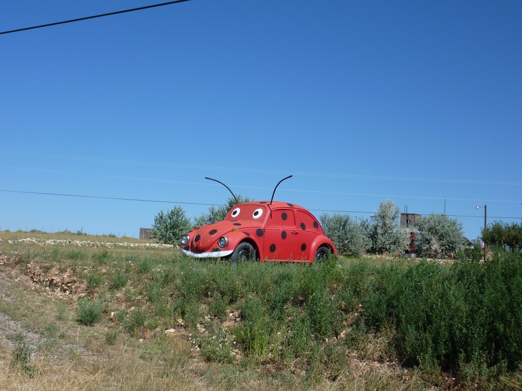
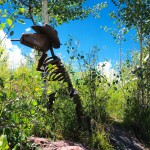
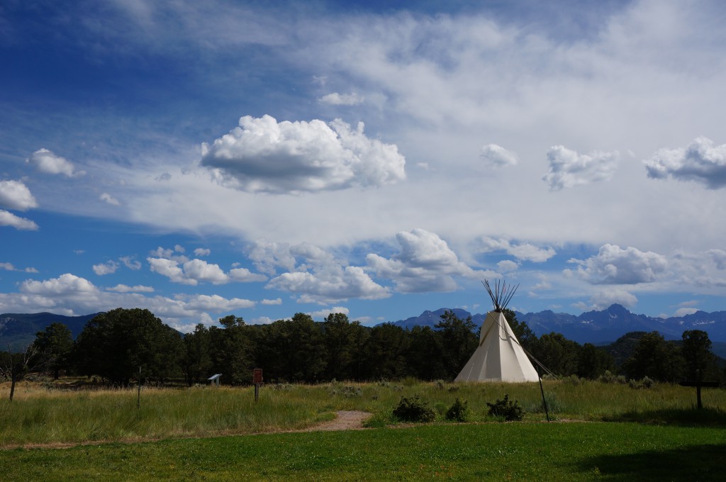
- road side attraction
-
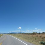
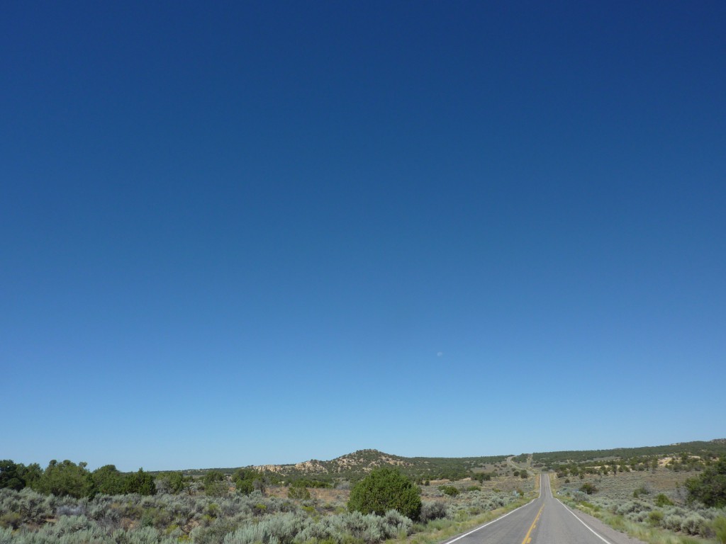
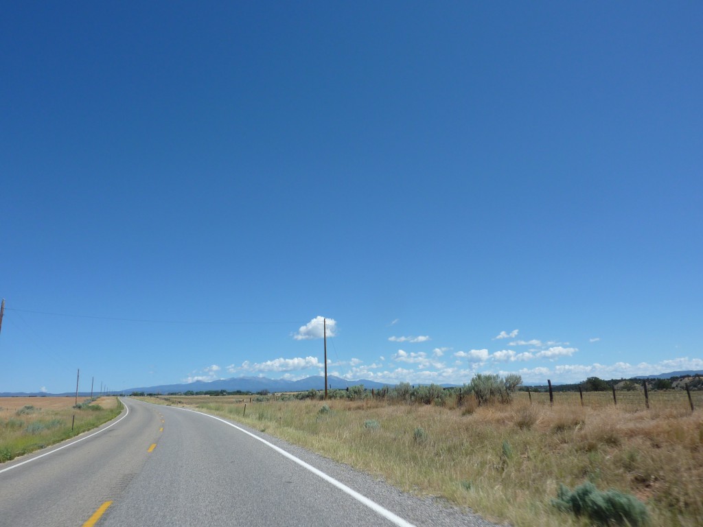
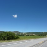
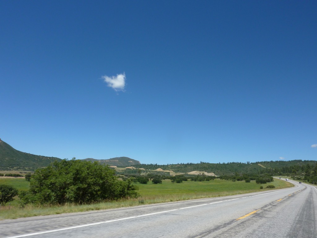
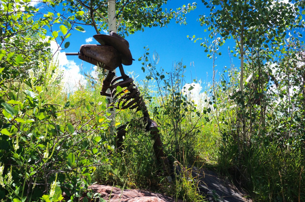
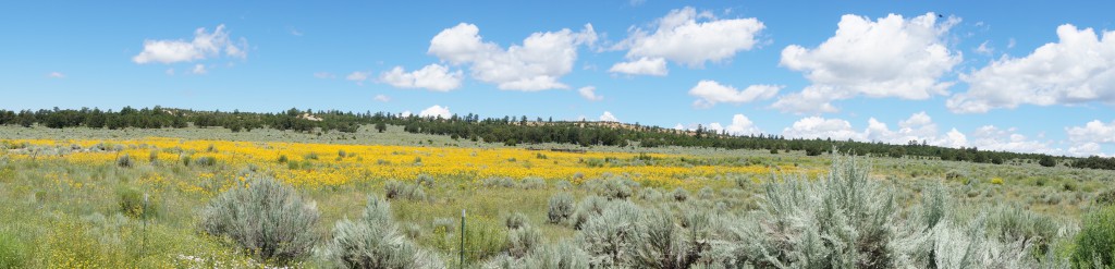
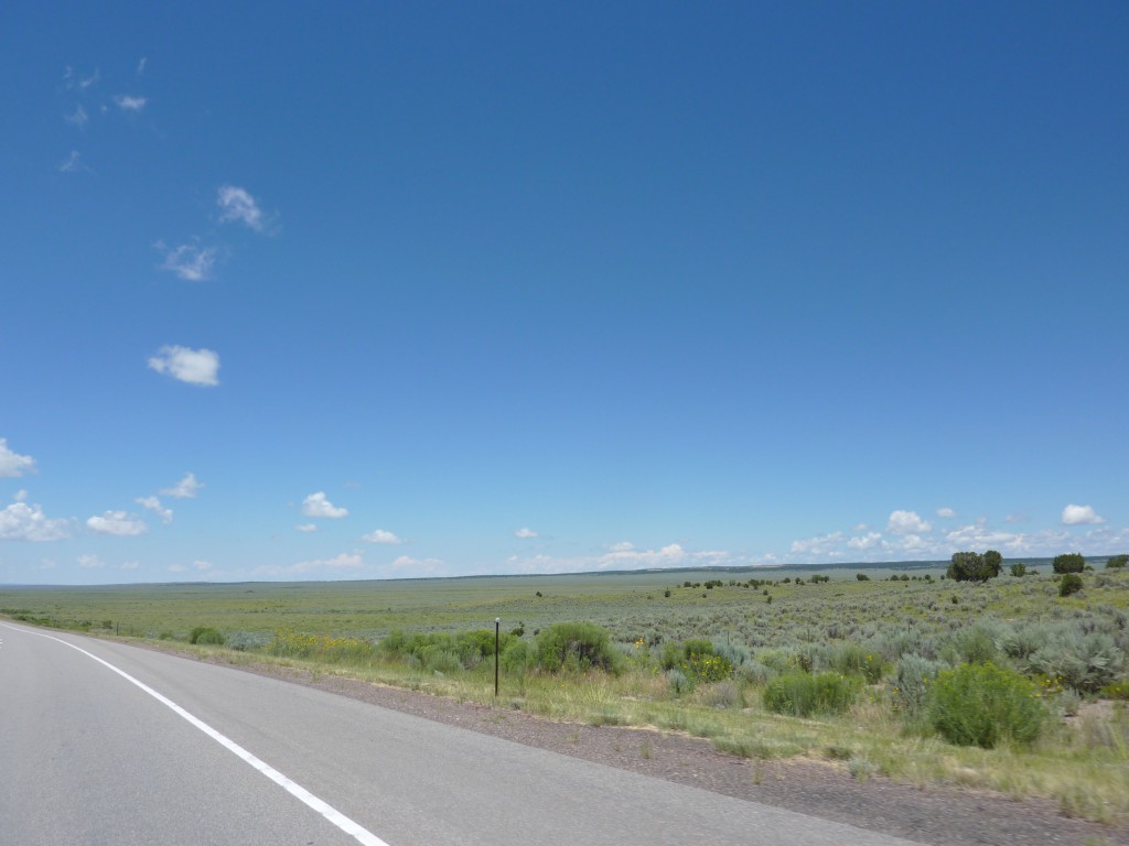
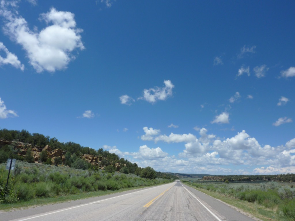
- Southern Colorado – mountains in the distance
-
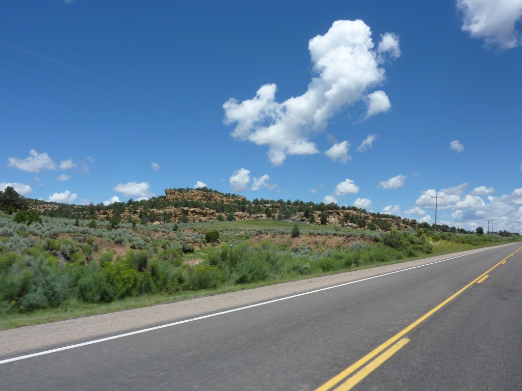
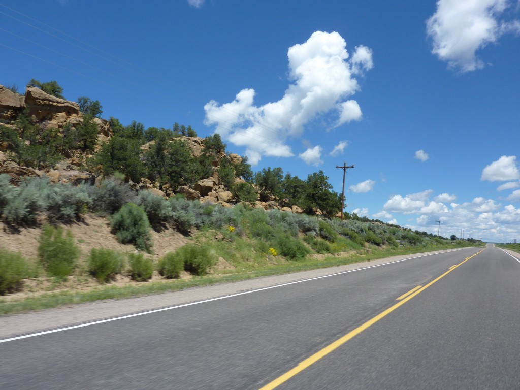
- Southern Colorado
-
- Southern Colorado
-
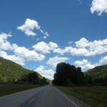
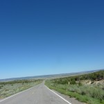
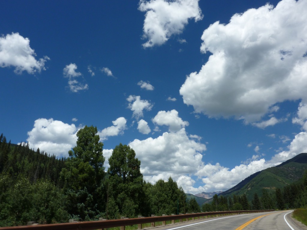
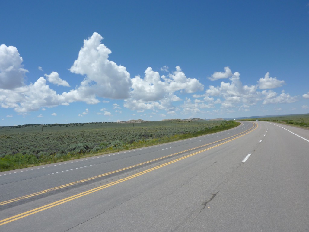
- US145
-
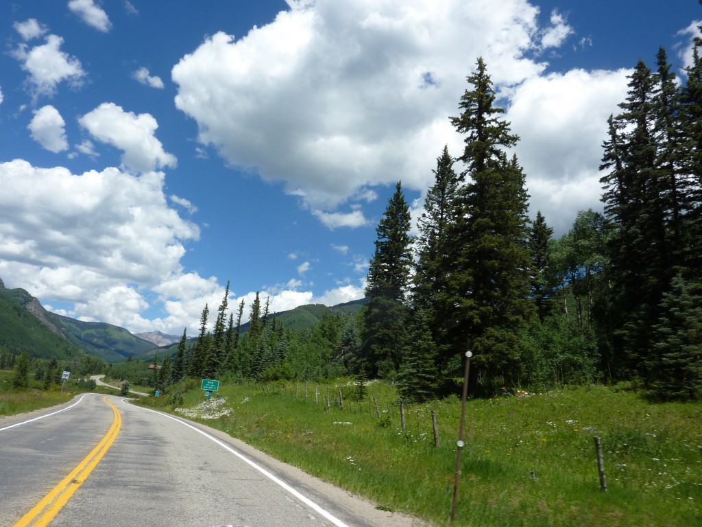
- US145
-
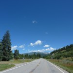
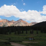
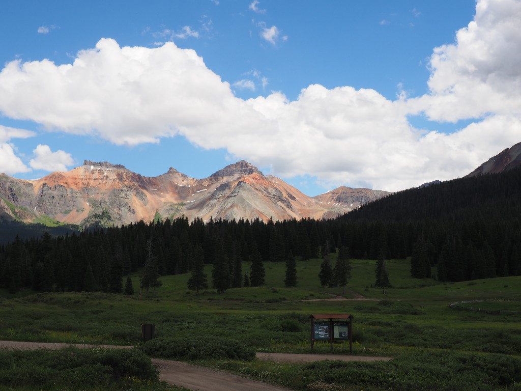
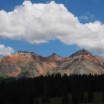
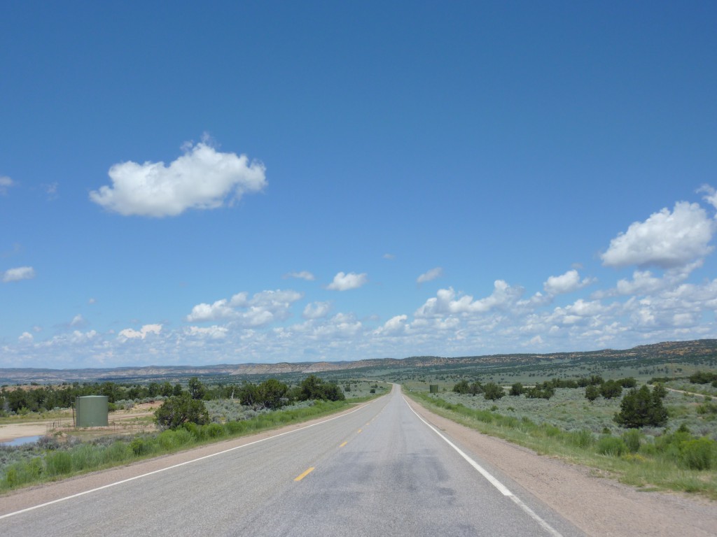
- Lizard Head Pass
-
- Lizard Head Pass
-
- Lizard Head Pass
-
- Lizard Head Pass
-
- Lizard Head Pass
-
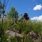
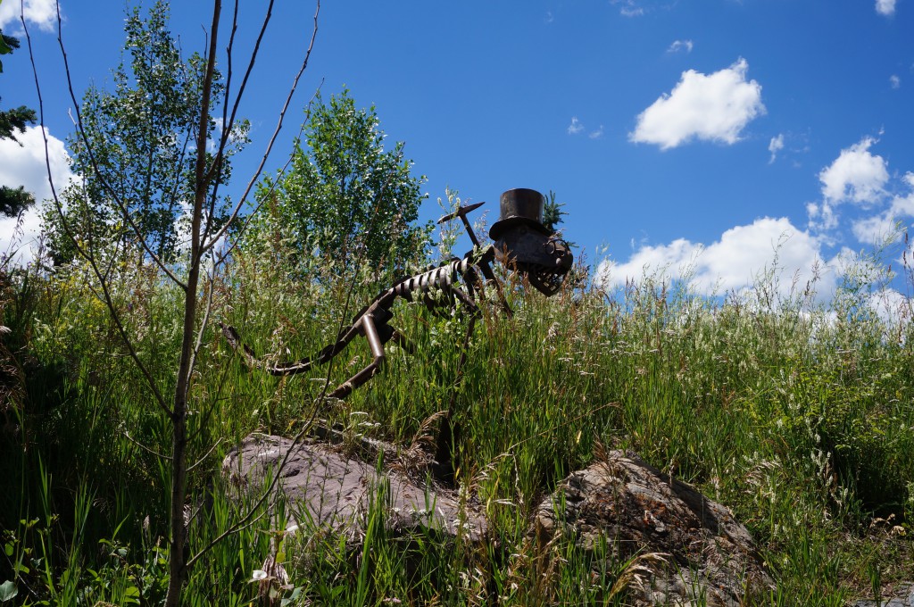
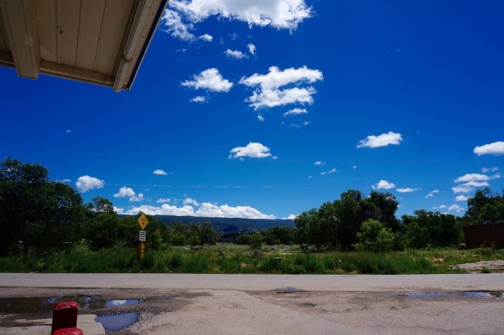
- art at the gas station in Telluride
-
- art at the gas station in Telluride
-
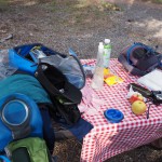
- typical table mess 🙂

-
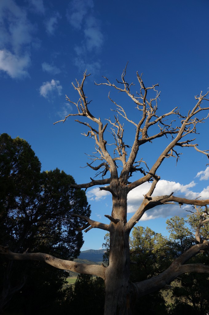
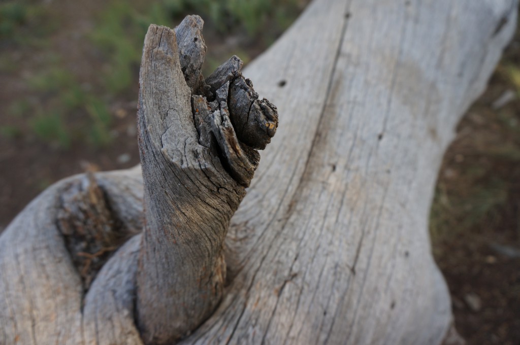
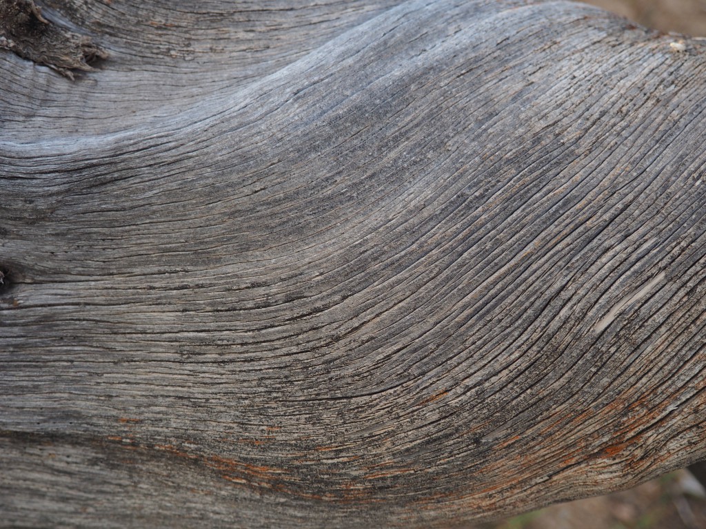
- cool texture
-
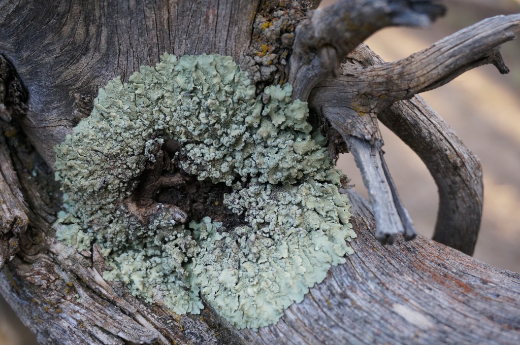
- interesting
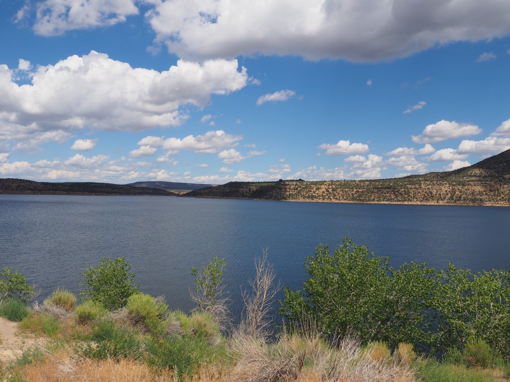
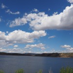
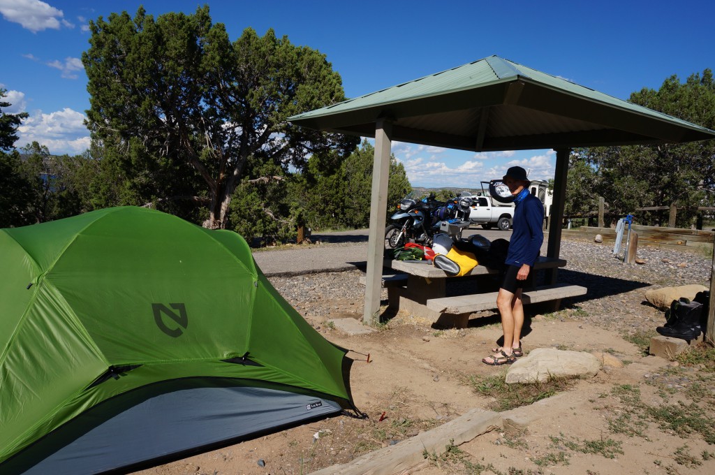
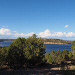
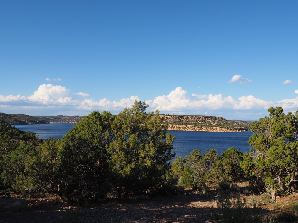
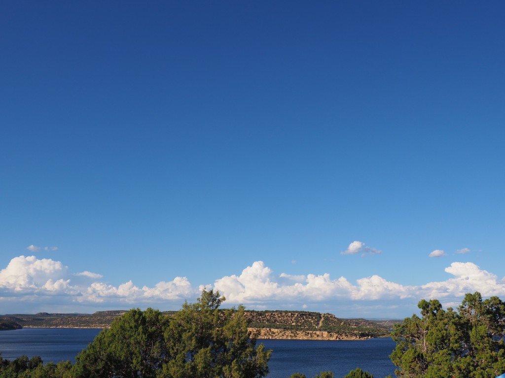
Home to Navajo Lake State Park, NM
Getting on the road in the morning usually takes longer than planed. Besides loading the bikes we also have to get the house ready for our trip. It’s not a big deal … just a lengthy checklist. We left Albuquerque around 10:30. Knowing that we would leave later in the morning we picked a destination that was reachable by mid afternoon.
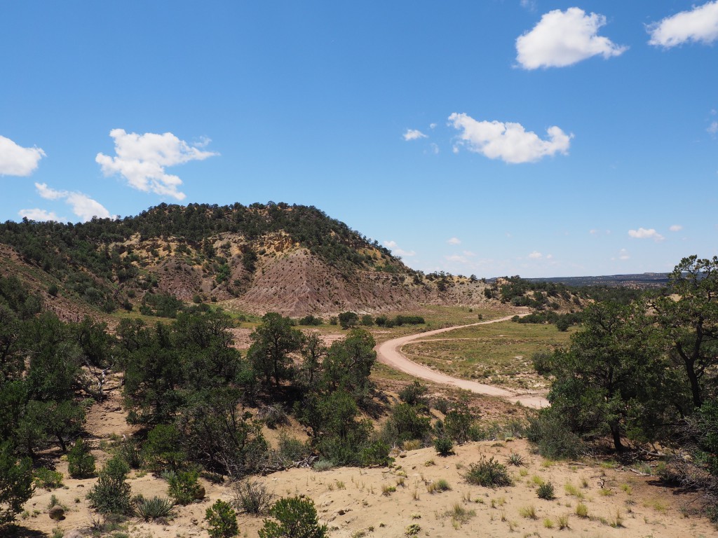
Our route took us on US 550 to Cuba, NM. We were eager to leave the four lane highway and ride on smaller, less traveled roads when we turned north on NM 537 which connected us with US 64 and then to Navajo Lake State Park. Fun day of riding :-).
The challenge for the day was finding a level site in the campground since the camping area is along side a slope. I did a lot of walking around to check sites while Diane was cooling off in the shade ;-). Just kidding. <<Diane here: no shade for me! I was busy chatting up one of the campers to get the scoop on campsites and playing with Corky the Corgi.>> We were appreciative of the fact that the weather was cooperating especially since we had been having one of the wettest monsoon seasons in years. We eventually found a flat site and after setting up camp and taking advantage of the free showers, we finished off the rest of a bottle of wine we had started but not finished at home. We called it an early night and fell asleep not long after the sun went down.
Technical Note: When viewing the pictures you will notice a set of opposing arrows in the top right corner. If you click on them, the picture viewer will go ‘full screen’. To escape full screen simply click on the arrows again or hit the ‘esc’ key.
-
- OLYMPUS DIGITAL CAMERA
-
- OLYMPUS DIGITAL CAMERA
-
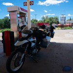
- Gas stop in Cuba, NM
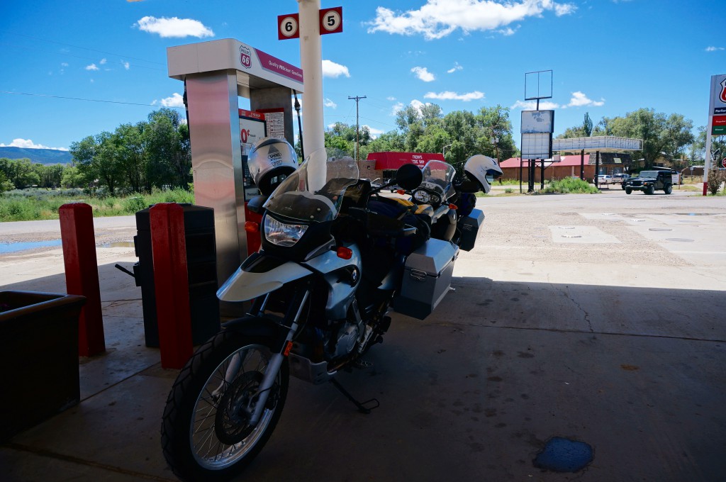
-
- Gas stop in Cuba, NM
-
- Gas stop in Cuba, NM
-
- Just north of Cuba, NM
-
- OLYMPUS DIGITAL CAMERA
-
- OLYMPUS DIGITAL CAMERA
-
- OLYMPUS DIGITAL CAMERA
-
- Just north of Cuba, NM
-
- OLYMPUS DIGITAL CAMERA
-
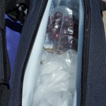
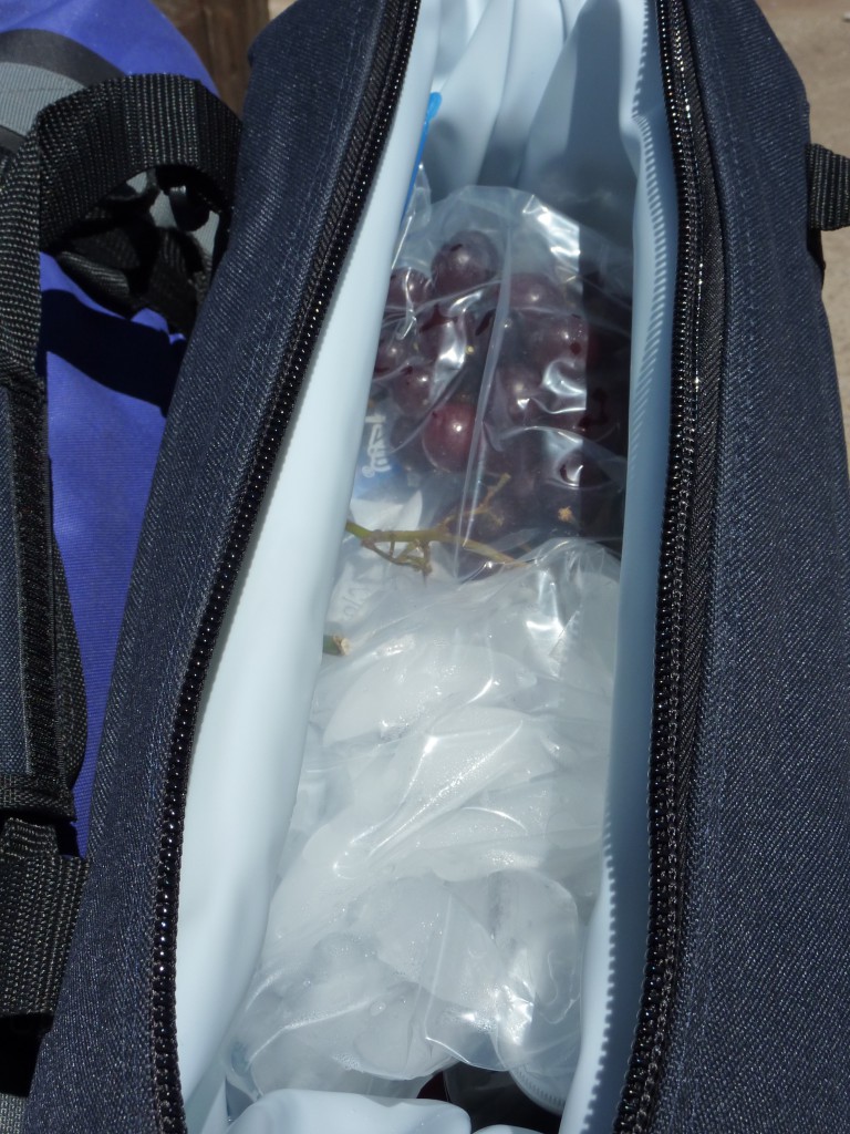
- Polar Bear 12pack cooler

-
- OLYMPUS DIGITAL CAMERA
-
- OLYMPUS DIGITAL CAMERA
-
- OLYMPUS DIGITAL CAMERA
-
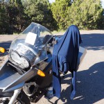
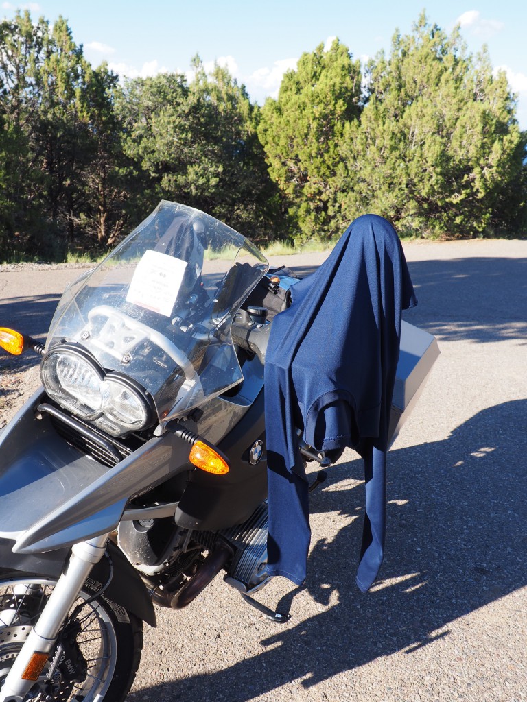
- drying laundry
-
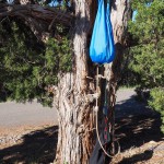
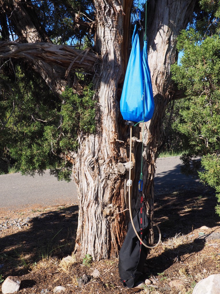
- water filtration system
-
- OLYMPUS DIGITAL CAMERA
-
- OLYMPUS DIGITAL CAMERA
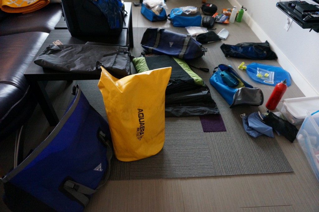
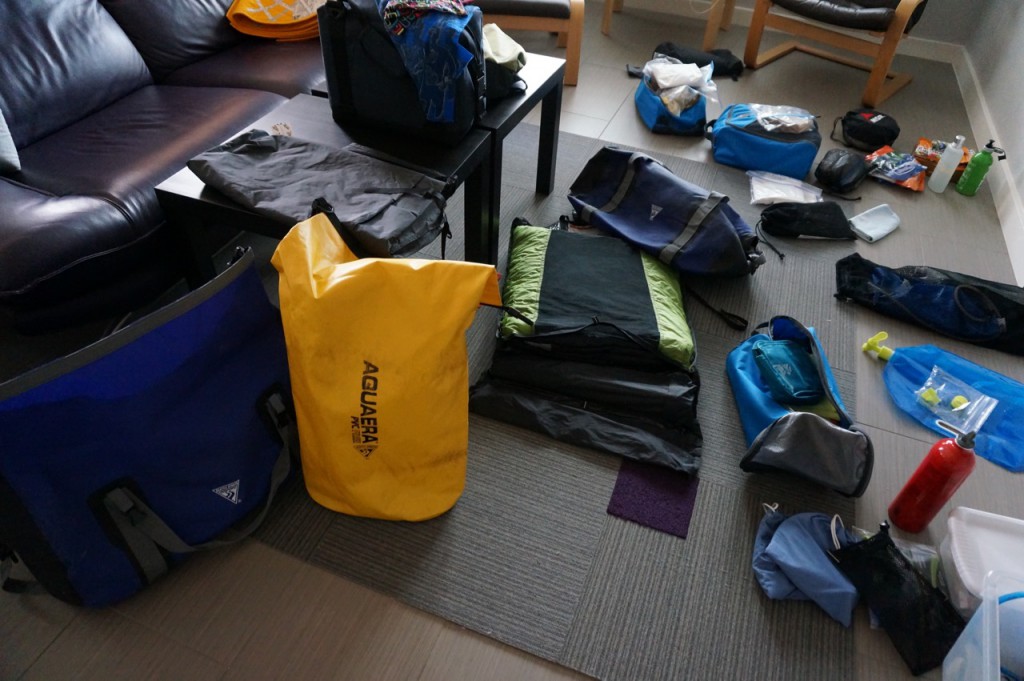
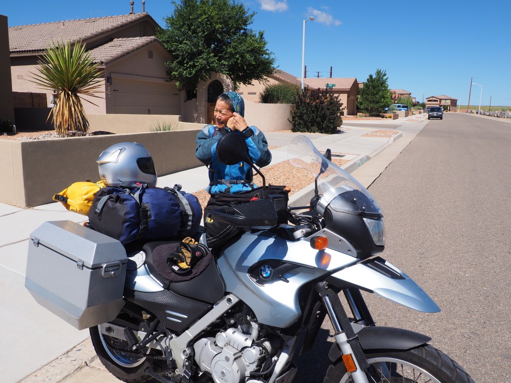
Getting Ready…
Camping gear and riding gear is spread throughout the house – it’s one big staging area :-). It looks (somewhat) chaotic but there’s order as we are putting our things together to go on another motorcycle trip.
The plan is to do more hiking and exploration this time. We’ll still get to spend plenty of time on the motorcycles but if we are in a state or national park/monument that has interesting hiking trails we want to explore them – staying more than one night so it’s not a constant ‘set-up-camp, sleep, take-down camp’ routine.
To avoid the summer heat and monsoon season as best as we can we will first go north, into Colorado. That’s the extent of our travel planning :-o. We have the first three stops mapped out but after that we’ll play it by ear. See what the weather does, what we are interested in, etc. That’s no accident since the absence of a fixed, multi-week route with daily targets can be quite liberating. Once temperatures start to cool a little we’ll head south towards Southern Utah to explore Capitol Reef National Park and Canyonlands National Park. Those are our current plans.
We’ll post pictures and updates as we make our way across the West.