We leave Gallup by 7:20 getting one IH-40 to Holbrook, a 90 mile stretch of freeway that wasn’t bad due to the light traffic that early in the day. At a speed limit of 75mph the freeway portion of today’s riding is over quickly before we settle into the standard route we used to take from Albuquerque when we were house hunting and building in AZ. Holbrook to Heber, then Payson and home.
Category: camping
8/30/21 – Land of Enchantment
It’s the official byline of the state. New Mexico scenery and variety is little known and underrated. Like Arizona, it features deserts in the south and south east, to the Gila National Forest in Silver City, more forests and ski areas around Taos to scenic routes like Route 96 from Abiquiu Lake to Cuba.
8/29/21 – First signs of home
The landscape is slowly changing. Farming is giving way to open grasslands with sage, creosote and yuccas as we make our way to Walsenburg, CO. Another dramatic change as we now entering more mountainous terrain covered in grasslands and pines. Quite the change-up to what we have seen for the last two weeks.
8/28/21 – Riding across Kansas into Colorado
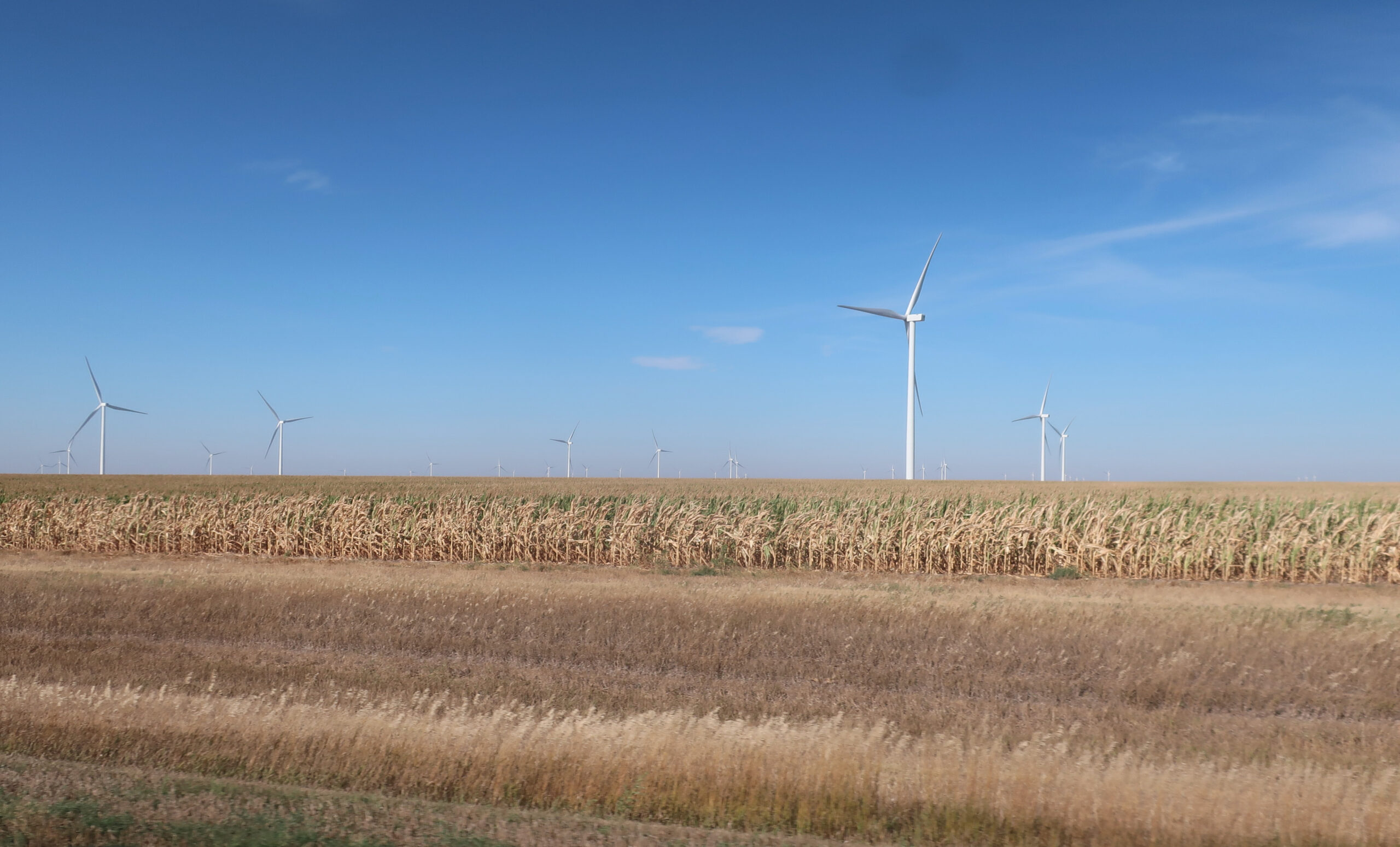
That’s all I have to say (hint: look at the corn).
Continue reading 8/28/21 – Riding across Kansas into Colorado
8/27/21 – Day of rest
Getting ready in the morning, including route planning for the next four days to get us home, started to feel frantic. While we want to get home there’s no reason to do so without regard for our own well being.
When Diane suggested we take a day off for the above reasons, my first reaction was ‘no’, being in the ‘I want to get home mode’. However, when I thought about it on my way to fill up our water bottles she had a valid point, our last day off was a week ago in Crystal Falls, MN. The last few days felt frantic because of the renewed water pump issue (calling dealers, changing our route). We still have about a 1000 miles to go before we get back home plus our campsite is nice and isolated, it’s quiet, clean showers & restrooms and good WiFi sealed the deal.
Time to take a breather. Give ourselves a break, do some route planning now that we have good wifi and just enjoy because, after all, we are still on vacation :-).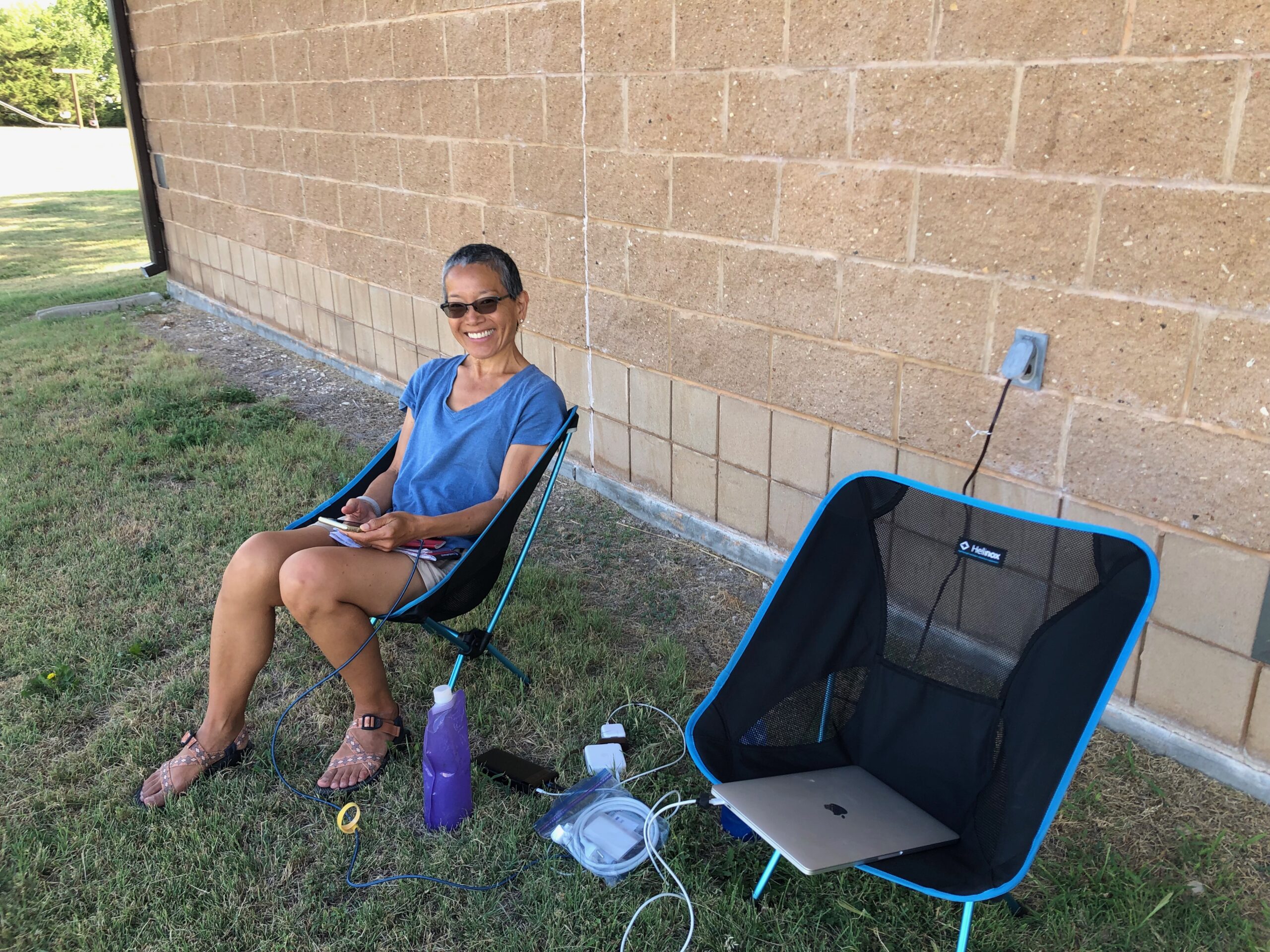
8/26/21 – Arriving in Kansas
The wind is getting old. Leaving Fremont Lakes under overcast skies we headed further west on US 30. So far this was my least favorite stretch of road. Not only was the road filled with lots of harvest hauling trucks and smelly livestock haulers but the buffeting they caused, enhanced by the wind, was intense and very unpleasant – I was ready for an extended break in Grand Island. With some snacks in me and rest, we tackled the rest of US 30 before heading due south outside of Kearney. Traffic slowed but we fought the wind the whole way into Kansas.
Pictures added & some edits
All posts from 8/21 onward now have pictures. Finally got a good (free) WiFi connection at the Webster State Park in Kansas by hanging out by the bathroom. Good place as any to put an access point…. I guess? 😉
8/25/21 – BMW dealer visit #2
Dave at BAK Motors answered the phone when I called the store shortly after 9:00. I told him the backstory on the water pump repair and he said to stop by. They would look at and determine the severity of the leak and whether we could limp home or would have to get it taken care of then and there.
8/24/21 – First morning rain and hazard trifecta
The forecast kept getting worse. The rain chances seemed to go up hourly when we were looking at them in the evening. When we woke around 5:00 it was 100% with ominous bands of thunderstorms moving across the greater Minneapolis area from West to East.
Continue reading 8/24/21 – First morning rain and hazard trifecta
8/23/21 – Riding across Wisconsin
This day was supposed to be a 245 mile day with 4:45 hours of riding according to Apple Maps. Well, without cell service and no detailed map and with all the county roads it took me a little longer to find the right route. We didn’t exactly get lost but burned some daylight getting on the right track.